
Mount Semeru Erupts Amid Widening Forest Fires, Climbing Routes Closed
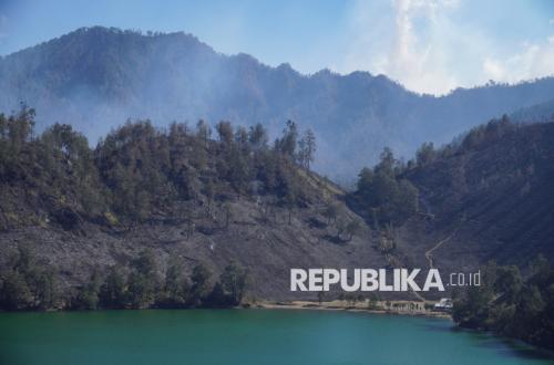
Mount Semeru, located on the border of Lumajang and Malang Regencies, East Java, underwent an eruption with an explosion reaching 1,000 metres above the Mahameru peak on Sunday (6/9/2026) morning. The observed ash column ranged in colour from white to grey.
“An eruption of Mount Semeru occurred at 07:51 WIB, with the observed eruption column height at approximately 1,000 metres above the peak, or 4,676 metres above sea level (masl),” stated Sigit Rian Alfian, an officer at the Mount Semeru Observation Post, in a written report received in Lumajang, East Java, on Sunday.
Sigit explained that the current volcanic activity of Mount Semeru is at Level III, or ‘Alert’ status. He detailed that the observed ash column was white to grey in colour with thick intensity, moving towards the east.
“The eruption was recorded on the seismograph with a maximum amplitude of 23 mm and a duration of 102 seconds,” he said.
Given the Alert status, the public is advised against outdoor activities, particularly in the south-eastern sector along Besuk Kobokan, up to 13 kilometres from the peak which serves as the centre of the eruption.
“Outside of that distance, the public must also refrain from activities within 500 metres of the riverbanks along Besuk Kobokan, as there is a potential for the expansion of hot clouds and lava flows up to 17 kilometres from the peak,” Sigit added.
Furthermore, the public is prohibited from any activities within a five-kilometre radius of the crater or the peak of Mount Semeru due to the danger of volcanic rock projectiles.