
Mount Merapi releases pyroclastic flows up to 2 km towards Kali Boyong
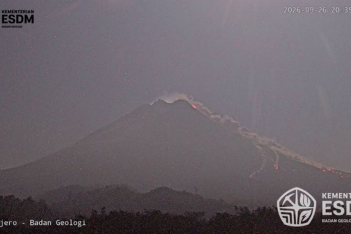
The Geological Agency of the Ministry of Energy and Mineral Resources (ESDM) reported that Mount Merapi released pyroclastic flows with an estimated travel distance of 2,000 metres (2 km) towards the south, heading into the Kali Boyong riverbed, Sleman Regency, Special Region of Yogyakarta, on Saturday night.
According to a report from the Centre for Geological Disaster Technology Research and Development (BPPTKG) of the Geological Agency received in Jakarta on Saturday, the pyroclastic flow event was recorded at 20:34 WIB.
“The pyroclastic flow occurred at 20:34 WIB with an estimated travel distance of 2,000 metres towards the south or the Kali Boyong riverbed,” the official BPPTKG statement noted.
BPPTKG recorded that the pyroclastic flow had a maximum amplitude of 48.66 mm, with seismic activity lasting for 129.64 seconds.
Currently, the activity level of Mount Merapi, which sits on the border of Central Java and the Special Region of Yogyakarta, remains at Level III (Alert).
The Geological Agency has urged the public to refrain from any activities in potential danger zones, particularly in riverbeds originating from Mount Merapi, to anticipate the threats of lava flows, pyroclastic clouds, and the potential for cold lava flows during rainfall.
Members of the public are also requested to remain calm, adhere to the official recommendations from BPPTKG/Geological Agency, and monitor updates on volcanic activity from trusted sources.