
Mount Merapi Hiking Trails Remain Closed, Alert Status in Effect
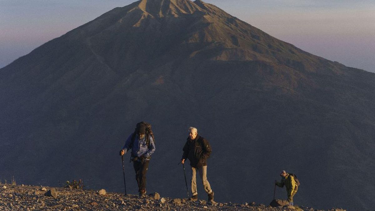
The Mount Merapi National Park Office (TNGM) has confirmed that hiking trails on the volcano, located on the border of the Special Region of Yogyakarta and Central Java, remain closed. The statement was issued in response to viral social media content showing climbing activities and even promoting the opening of Mount Merapi’s hiking routes.
Head of TNGM, Heri Wibowo, explained that the trail closure has been in effect since 22 May 2018, following an increase in the volcano’s activity status from Level I (Normal) to Level II (Alert). The status was further raised to Level III (Siaga) on 5 November 2020 and remains in place today. “Mount Merapi climbing activities are temporarily not recommended, except for investigation and research purposes related to disaster mitigation efforts,” Heri said in an official statement on Monday (29/6).
According to the activity report for the period of 19-25 June 2026 from the Geological Disaster Technology Research and Development Centre (BPPTKG), Merapi’s volcanic activity remains high with effusive eruptions, and the mountain remains at Level III (Siaga). Heri noted that magma supply to the surface is ongoing, which could trigger lava avalanches and pyroclastic flows that travel down the river channels on the slopes.
Currently, the potential danger from lava avalanches and pyroclastic flows is concentrated in the south-southwest sector, covering the Boyong River channel with a maximum runout distance of 5 kilometres from the summit. Meanwhile, in the Bedog, Krasak, and Bebeng river channels, the potential runout of volcanic material can reach a maximum distance of 7 kilometres from the summit. In the southeast sector, the danger covers the Woro River channel up to 3 kilometres and the Gendol River up to 5 kilometres from the summit. Should an explosive eruption occur, the ejection of incandescent volcanic material is estimated to reach a radius of 3 kilometres from the summit.
The TNGM Office also reminded the public not to conduct any activities within a 3-kilometre radius of the summit, in accordance with BPPTKG/PVMBG recommendations. The New Selo hiking route to the summit is located entirely within this danger zone, with the entrance gate to Post I approximately 2.3 kilometres from the summit, Post II about 1.64 kilometres away, and Pasar Bubrah around 0.7 kilometres from the summit. All these points are within the potential impact zone for volcanic material ejection and pyroclastic flows, making any climbing activity extremely dangerous for safety.
Balai TNGM urged the public not to be easily influenced by unverified information regarding Mount Merapi’s activity. “The public should not be provoked by issues regarding Mount Merapi eruptions from unclear sources and should follow the directions of local government officials or directly from BPPTKG,” Heri stated. As an alternative, the TNGM Office noted that the public can still enjoy soft trekking routes within the Mount Merapi National Park area, such as the Kalitalang Nature Tourism Object, which is located outside the danger radius, approximately 3.3 kilometres from Post IV, the last hiking post. The TNGM Office stressed that the trail closure is solely to comply with recommendations from the competent technical agencies and to ensure public safety.