
Mount Lewotolok Erupts Again, Ash Column Reaches 400 Metres
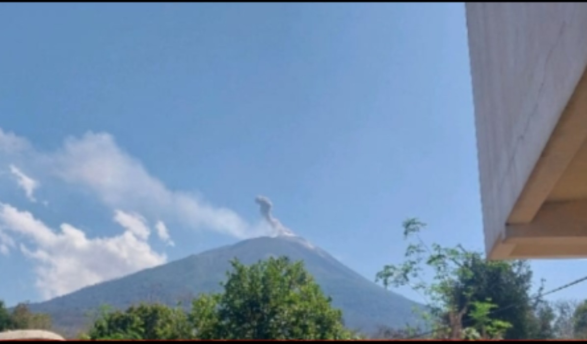
Mount Lewotolok, located in Lembata Regency, East Nusa Tenggara (NTT), has been reported to be experiencing eruptions with relatively high activity intensity. Based on the latest observations on Monday (14/9), the height of the ash column has shown an increase compared to the previous day.
Officers at the Mount Lewotolok Observation Post, Nanda Pramtriwans Joshua Game, reported that the latest eruption occurred at 09:14 WITA. The ash column was observed to reach a height of approximately 400 metres above the peak, or about 1,823 metres above sea level.
“The ash column is grey in colour with moderate intensity and was observed leaning towards the west. This eruption was recorded on the seismogram with a maximum amplitude of 40 millimetres and a duration of approximately 50 seconds,” Nanda stated in his report on Monday (14/9).
The increase in the ash column height on Monday morning occurred after a period of decline. During observations on Sunday (13/9), volcanic material eruptions were recorded at a maximum height of only 200 metres above the peak.
During the 24-hour observation period on Sunday, 336 eruptions were recorded. Bursts of white to grey material were observed at heights of 5t0-200 metres, accompanied by weak crater smoke at heights of 10-50 metres.
“Eruptions are still being recorded with intensities of rumbling sounds and weak to moderate thuds,” Nanda added. By comparison, on Saturday (12/9), the height of eruption bursts had previously reached between 300-700 metres.
In addition to visual eruption activity, seismicity at Mount Lewotolok remains very active. Data recorded 336 eruption earthquakes, 64 inflation earthquakes, 28 non-harmonic tremors, as well as a number of shallow, deep, and distant tectonic volcanic earthquakes.
Officers are also monitoring lava flows that continue to move towards the south-eastern sector. The distance of the lava flow is estimated to reach 300-500 metres from the crater rim.
At present, Mount Lewotolok remains at Level II (Alert) status. The Centre for Volcanology and Geological Hazard Mitigation (PVMBG) has maintained this Alert status. Local authorities and observation officers continue to monitor volcanic activity developments intensively to minimise risks to residents living on the mountain slopes.