
Mount Ibu erupts on Monday afternoon, ash dispersal reaches Kao Bay
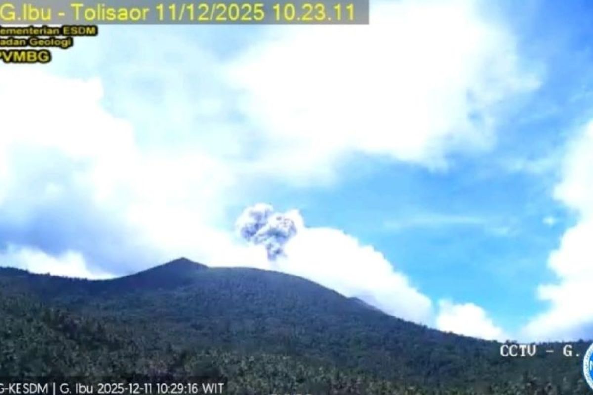
The Geological Agency of the Ministry of Energy and Mineral Resources (ESDM) has confirmed that Mount Ibu in West Halmahera, North Maluku, underwent an eruption with an observed ash column height reaching 400 metres above the summit on Monday.
The Head of the Geological Agency, Lana Saria, stated in Jakarta on Monday that the volcanic eruption was recorded precisely at 11:55 WIT with a maximum amplitude of 28 millimetres and a duration of approximately 46 seconds.
“The observed ash column is grey in colour with moderate intensity, drifting towards the north-east. Currently, Mount Ibu is at Level II Alert status,” said Lana Saria.
Due to these conditions, the Geological Agency recommends that the public and tourists refrain from any activities within a 2-kilometre radius of the active crater, as well as a sectoral expansion of up to 3.5 kilometres towards the northern opening of the crater.
According to an analysis of RGB Himawari-9 satellite imagery conducted by the team from the Meteorology, Climatology, and Geophysics Agency (BMKG), the dispersal of volcanic dust was detected to cover parts of West Halmahera Regency, North Halmahera Regency, and extending to Kao Bay.
The Geological Agency has also requested the West Halmahera Regency Government to maintain continuous coordination with the Mount Ibu Observation Post in Gam Ici and the Centre for Volcanology and Geological Hazard Mitigation (PVMBG) of the Geological Agency.
“The public is expected to remain calm, avoid spreading false narratives, and monitor the development of Mount Ibu’s activity through official channels and always follow the directions from the local government,” said Lana Saria.
Source: jawawa.id (https://jawawa.id/newsitem/mount-ibu-erupts-on-monday-afternoon-ash-dispersal-reaches-kao-bay-1789365725)
Originally published by Antara (Indonesian) (https://www.antaranews.com/berita/5739515/gunung-ibu-erupsi-senin-siang-sebaran-abu-hingga-teluk-kao), translated from Indonesian