
Mount Ibu Erupts Again, Geology Agency Expands Safe Distance to 3.5 km
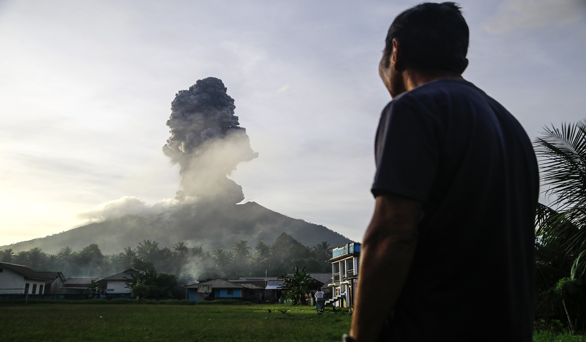
Geological Agency of the Ministry of Energy and Mineral Resources (ESDM) has formally extended the sectoral safe radius for communities around Mount Ibu, Halmahera Barat, North Maluku. The move follows a minor eruption in the early hours of Wednesday, 20 May 2026. The latest activity was recorded at 00:49 WIT, with Mount Ibu ejecting an ash column approximately 400 metres high above the crater. The plume was observed grey with a thick intensity, drifting toward the northeast, according to an official statement from Lana Saria, Head of the Geological Agency, in Jakarta on Wednesday (20 May). Seismograms indicate the eruption’s technical characteristics. Although activity increased, the volcano’s status remains Level II (Waspada). The Geological Agency issued strict recommendations to minimise risks from pyroclastic flows and volcanic material. Lana Saria urged the Halmahera Barat Regency Government to continue coordinating with PVMBG or via the Mount Ibu Observation Post in Gam Ici village. Residents on Halmahera Island were advised not to spread irresponsible rumours and to monitor developments via the government’s official Magma Indonesia app. Airports around the area — Sultan Babullah, Buli, and Marimoi — were not affected by the eruption and remain operational. BNPB reported that evacuation operations are ongoing, with the number of evacuees increasing to 664. Mount Ibu is located in Halmahera Barat Regency, Maluku Utara.