
Ministry of Home Affairs Urges Data Accuracy to Resolve Pasuruan Land Dispute
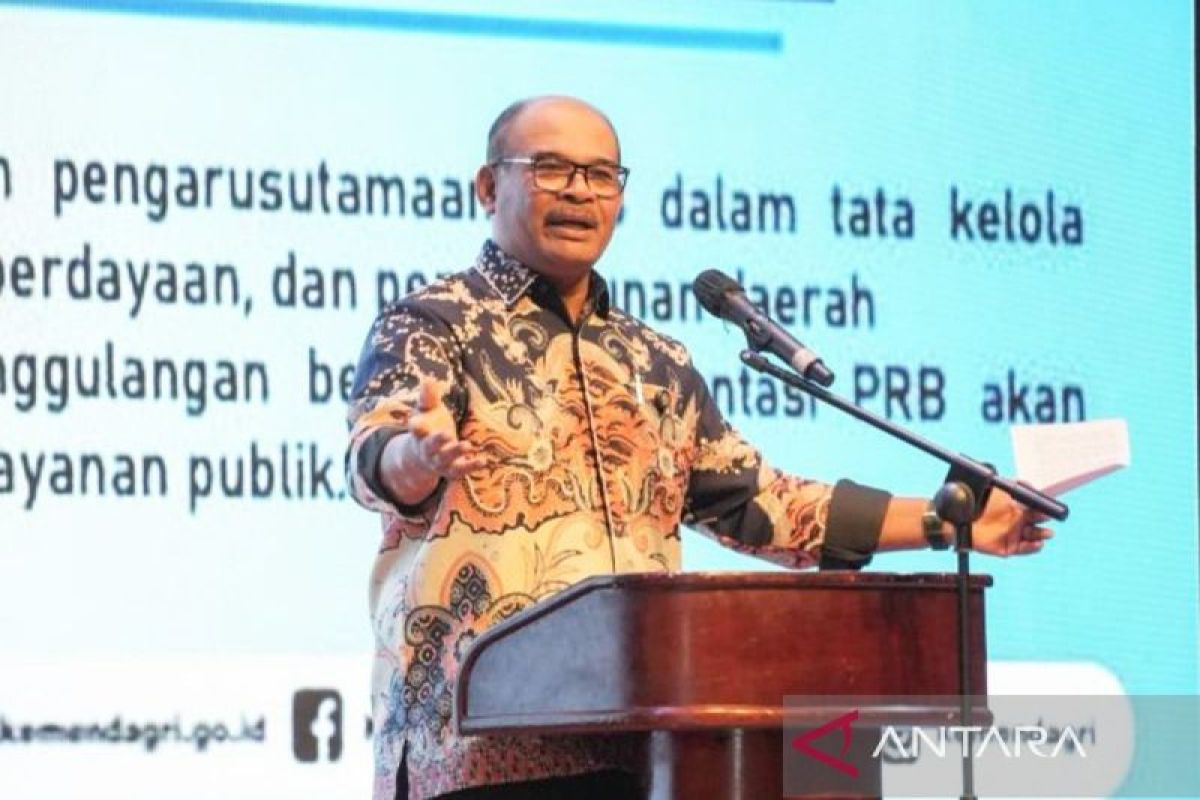
The Ministry of Home Affairs (Kemendagri) is pushing for the provision of accurate regional data, spatial planning, and a coordinated approach to resolve the land dispute between the Indonesian Navy (TNI AL) and local communities in Pasuruan Regency, East Java.
In a written statement in Jakarta on Saturday, the Director General of Regional Administrative Development at the Ministry of Home Affairs, Safrizal ZA, stated that resolving the dispute requires clear mapping. Administratively, the Navy holds 14 certificates of usage rights for land spanning 3,600 hectares, while the area is home to ten established villages.
“This issue remains unresolved because, from 1960 to the present, four generations of residents have inhabited the location. This is something we must consider together,” said Safrizal.
Safrizal explained that resolving the dispute is also linked to the management of state assets. Consequently, neither the Ministry of Defence nor the Navy can make unilateral decisions regarding the release or handover of these assets.
He noted that every decision concerning state assets must follow official mechanisms and obtain approval from relevant ministries, particularly the Ministry of Finance, which serves as the manager of state assets.
“The Magelang case could be resolved through the principle of give and take. We are confident that the issue in Pasuruan can be resolved using the same approach,” he remarked.
He added that accurate geospatial data is a primary requirement in the dispute resolution process. Currently, the central team lacks the polygon coordinate data containing the detailed boundaries of the specified usage rights area.
This coordinate data is necessary to overlay the maps with the current spatial utilisation maps used by the community. If an agreement is not reached, Safrizal supports direct field inspections to verify data and clarify territorial boundaries factually.