
Ministry of Forestry Makes West Kalimantan a Pilot for National Peatland Fire Risk Mapping
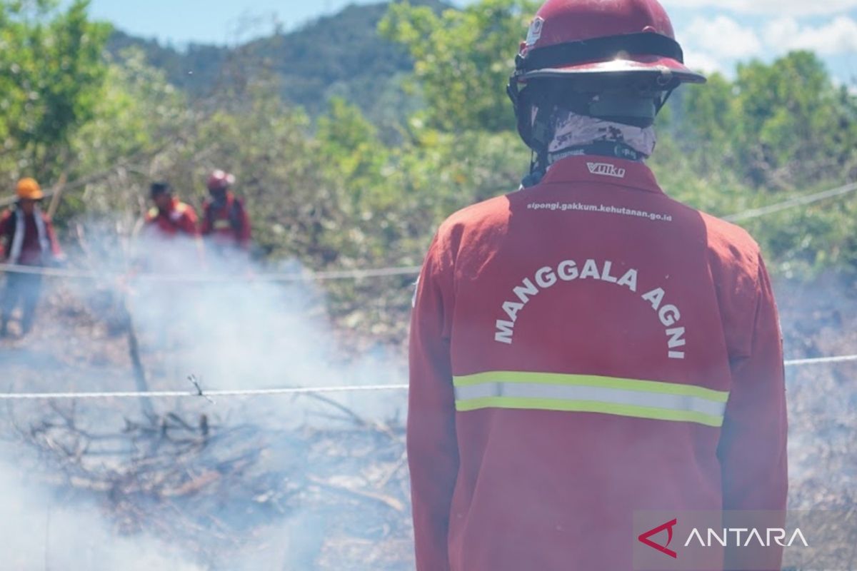
The Ministry of Forestry (Kemenhut) has designated West Kalimantan (Kalbar) as a pilot area for developing a forest and land fire (karhutla) risk map for peat ecosystems, in an effort to strengthen science-based prevention.
“The risk map is being prepared by the ministry’s Forest Fire Control Directorate together with the National Research and Innovation Agency (BRIN) and the Nature Conservancy Indonesia Foundation (YKAN), using new modelling adapted to the characteristics of peat ecosystems and specific local conditions,” said Israr Albrar, Senior Adviser for International Cooperation in Forest Fire Control at the ministry, in a statement in Pontianak on Thursday.
Albrar said the development of the updated risk mapping method began in 2025 in order to produce more accurate mapping compared with previous approaches.
“The method for preparing karhutla risk maps actually already exists, but we are now refining it so that it can provide a more accurate picture of risk. West Kalimantan is the pilot location for applying this new method,” said Israr on the sidelines of a focus group discussion on preparing the peatland fire risk map for West Kalimantan.
Asep Hidayat, head of BRIN’s Ecology Research Centre, said the map is being prepared in stages and collaboratively, combining biophysical vulnerability factors with anthropogenic aspects that influence the potential for fires in a given area.
According to him, the process includes developing the modelling framework, establishing indicators, and refining spatial analysis, so as to produce a map that better represents conditions on the ground and can serve as a scientific basis for karhutla control policy-making.
“Ministry data shows that as of June 2026, the burned area in West Kalimantan reached 28,680 hectares, or around 27 per cent of the total national burned area. Meanwhile, the West Kalimantan Disaster Management Agency (BPBD) has mapped 335 villages prone to forest and land fires spread across 14 regencies and cities,” said Nisa.
He said Ketapang, Mempawah and Kubu Raya are priority areas, as they account for around 77 per cent of the burned area in West Kalimantan during the January-June 2026 period, based on ministry monitoring.
Nisa added that the preparation of the risk map has now entered the stage of finalising the modelling and reviewing parameters, before being compiled into a policy brief as input for the ministry in refining guidelines for designating karhutla risk areas, particularly in peatland landscapes.