
Manggala Agni monitors potential haze from West Kalimantan forest fires crossing into Malaysia
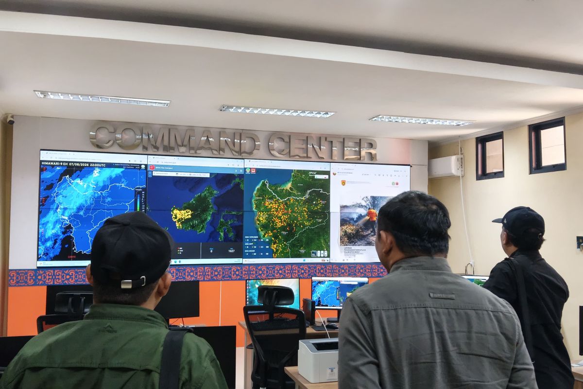
Singkawang (ANTARA) - Manggala Agni Kalimantan XI/Singkawang, West Kalimantan, has increased monitoring of smoke movement from forest and land fires (karhutla) that could potentially cross national borders, particularly towards Malaysia.
Head of Daops Manggala Agni Kalimantan XI/Singkawang Yuyu Wahyudin said the monitoring is carried out systematically to determine the direction of movement, thickness, and range of the smoke, including the potential spread towards border areas.
“The monitoring carried out is a systematic activity of observing, detecting, measuring levels, and reporting the spread and thickness of smoke from forest and land fires moving across national borders, whether entering our territory or neighbouring countries such as Malaysia,” Yuyu said in Singkawang on Sunday.
According to him, the monitoring is part of early detection efforts so that smoke movement can be identified before it has a broader impact on air quality and community activities in affected areas.
In addition, monitoring is conducted to support information transparency and data exchange with neighbouring countries, particularly Malaysia, so that information on smoke movement can serve as a basis for coordination and handling of transboundary haze impacts in border areas.
“Data exchange is important to support the formulation of joint mitigation policies, while reducing health and economic impacts caused by the haze,” he said.
Yuyu explained that monitoring is carried out through direct field observations utilising observation posts, watchtowers, and routine patrols, especially in areas with potential exposure to smoke spreading towards border regions.
In addition to field monitoring and technology, Manggala Agni conducts information exchange through regular meetings, periodic reports, and rapid communication with relevant agencies and authorities in neighbouring countries.
“Several key aspects observed include wind direction and speed, smoke thickness and range, the air pollutant standard index (ISPU), hotspots that could potentially expand smoke spread towards the border, as well as reports of public health complaints along affected routes,” he said.
The monitoring, he said, is expected to strengthen preparedness in facing the impacts of forest and land fires while ensuring that any potential cross-border smoke movement can be identified and addressed as early as possible.