
Magnitude 6.7 Earthquake Strikes Palu, Central Sulawesi
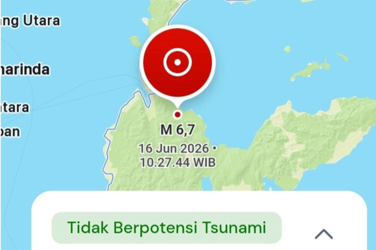
The Meteorology, Climatology and Geophysics Agency (BMKG) reported that a tectonic earthquake measuring magnitude 6.7 shook the Palu region in Central Sulawesi on Tuesday at 10.27 a.m. Western Indonesian Time (WIB). BMKG confirmed the earthquake’s epicentre was located on land at coordinates 1.13 South Latitude and 120.23 East Longitude, precisely 42 kilometres southeast of Palu City. Three minutes after the main shock, the United States Geological Survey (USGS) also detected aftershock activity with a magnitude of 5.2, centred 44 kilometres east-southeast of Palu at the same depth. As of the time this report was filed, there has been no official statement from the local Regional Disaster Management Agency (BPBD) regarding infrastructure damage or casualties resulting from the strong tremor. Residents are urged to remain calm, avoid buildings that are cracked or damaged from the residual shaking, and stay alert to the potential for a series of aftershocks that may still occur.