
Magnitude 6.7 Earthquake in Palu, BMKG Confirms No Tsunami Potential
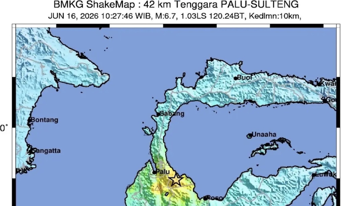
The Meteorology, Climatology, and Geophysics Agency (BMKG) has confirmed that the magnitude 6.7 tectonic earthquake that shook the Palu region in Central Sulawesi on Tuesday (16/6/2026) at 10.27 WIB did not pose a tsunami threat. The assurance was issued to allay public fears following the strong tremors felt across several areas. “There is no tsunami potential because the epicentre is on land,” stated Hendrik, an observer at the BMKG’s Class 1 Geophysical Station in Palu, on Tuesday.
According to BMKG analysis, the earthquake’s epicentre was located at coordinates 1.13 South Latitude and 120.23 East Longitude. The precise location was on land, approximately 42 kilometres southeast of Palu City, with a shallow depth of 10 kilometres. Hendrik explained that the earthquake was a shallow type triggered by active fault activity. Source mechanism analysis indicates the earthquake had a normal fault movement mechanism.
The tremors were felt quite strongly in several areas with varying intensity scales. Regarding a viral video showing seawater along the coast of Palu Bay appearing to recede after the earthquake, BMKG stressed that this information is not linked to any tsunami potential. Mathematical modelling consistently shows that this seismic activity did not trigger tsunami waves.
BMKG urged the public to remain calm and not be influenced by irresponsible rumours. “Do not panic and do not be trapped by irresponsible issues,” Hendrik emphasised.