Magnitude 4.8 Earthquake Rocks Bali This Morning, Felt from Kuta to Denpasar
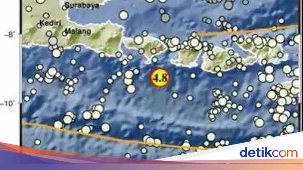
A magnitude 4.8 earthquake struck Bali on Sunday (1 March 2026) morning. The tremors were felt strongly by residents in Denpasar and Kuta, Badung.
“Earthquake… earthquake…” cried several residents as they rushed out of buildings in South Kuta, Badung, Bali, on Sunday morning.
The Indonesian Meteorological, Climatological and Geophysical Agency (BMKG) Regional Office III Denpasar recorded the earthquake occurring at 11:52 local time. The epicentre was located 60 kilometres south-east of South Kuta, Bali, at a depth of 56 kilometres.
For reference, the following are the earthquake magnitude scale categories:
2.5 or less = usually not felt, but can be recorded by seismograph
2.5-5.4 = often felt, but only causes minor damage
5.5-6.0 = can cause light damage to buildings and other structures
6.1-6.9 = can cause considerable damage in densely populated areas
7.0-7.9 = major earthquake with serious damage
8.0 or greater = great earthquake. Can devastate communities near the epicentre.
Earthquakes are natural disasters that frequently occur in Indonesia. This is because Indonesia is located at the convergence of three tectonic plates that collide with one another (converge).