
M6.2 Earthquake Shakes Southwest Maluku, Felt in Tiakur
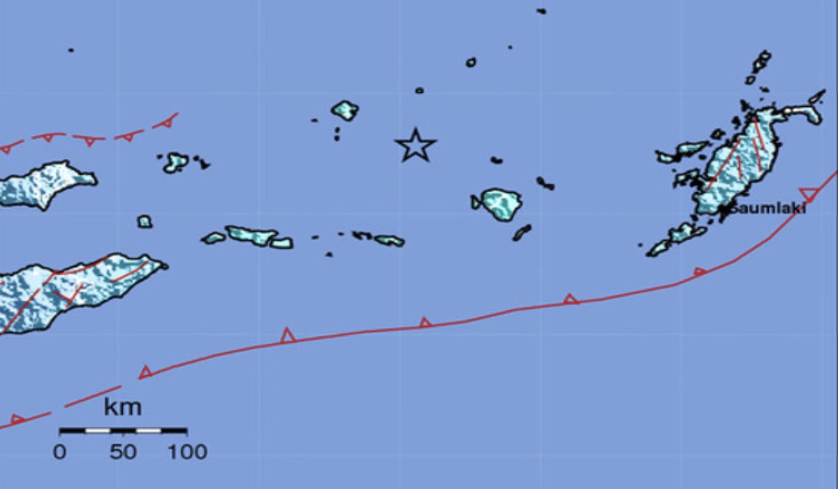
A magnitude 6.2 earthquake shook the Southwest Maluku region, Maluku, on Friday (11/9) evening. The Meteorology, Climatology, and Geophysics Agency (BMKG) recorded the earthquake occurring at 18:56:24 WIB.
According to initial information from the BMKG, the epicentre of the earthquake was located at sea, approximately 166 kilometres northeast of Southwest Maluku. The epicentre was situated at coordinates 7.44 South Latitude and 129.11 East Longitude, at a depth of 143 kilometres.
The tremors were felt in Tiakur, the capital of Southwest Maluku Regency, with an intensity of III on the Modified Mercalli Intensity (MMI) scale. At this level, vibrations can generally be felt clearly inside houses.
The BMKG stated that the earthquake does not have the potential to trigger a tsunami.
Information regarding the earthquake was also shared via the official Instagram account @infobmkg. In the post, the BMKG displayed a shakemap showing the earthquake’s location within the waters of Southwest Maluku.
As of the time of publication, there have been no official reports regarding damage or casualties resulting from the earthquake.
The public is advised to follow earthquake information updates through official BMKG channels and to avoid trusting unverified information.
Source: jawawa.id (https://jawawa.id/newsitem/m6-2-earthquake-shakes-southwest-maluku-felt-in-tiakur-1789134800)
Originally published by Media Indonesia (https://mediaindonesia.com/nusantara/932425/gempa-m62-guncang-maluku-barat-daya-terasa-di-tiakur), translated from Indonesian