
M5.1 Earthquake Strikes Southern Java, Tremors Felt in Denpasar
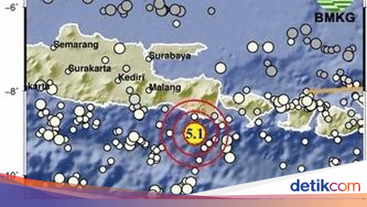
A 5.1 magnitude earthquake struck southern Java, specifically 93 kilometres (km) southeast of Jember in East Java (Jatim), on Tuesday (26 May 2026). The tremors were felt as far as Denpasar, Bali.
According to the Indonesia Meteorology, Climatology, and Geophysics Agency (BMKG), the quake occurred at 16:39 WITA (Central Indonesian Time). The precise location was at 9.01 degrees South Latitude (LS) and 113.84 degrees East Longitude (BT), with a depth of 10 kilometres (km).
The BMKG reported that the earthquake was 105 km southwest of Banyuwangi, East Java; 111 km southwest of Jembrana, Bali; 157 km southwest of Denpasar; and 840 km southeast of Jakarta. The earthquake does not pose a tsunami risk, and there are no reports of damage or casualties.
For reference, here are the magnitude categories for earthquakes:
2.5 or below: usually not felt but detectable by seismographs
2.5-5.4: often felt but typically causes minor damage
5.5-6.0: may cause light damage to buildings and structures
6.1-6.9: can cause significant damage in densely populated areas
7.0-7.9: major earthquake causing severe damage
8.0 or above: great earthquake capable of destroying communities near the epicentre.
Earthquakes are common natural disasters in Indonesia due to its location at the convergence of three tectonic plates.