
List of Regions Still Shrouded in Haze Today
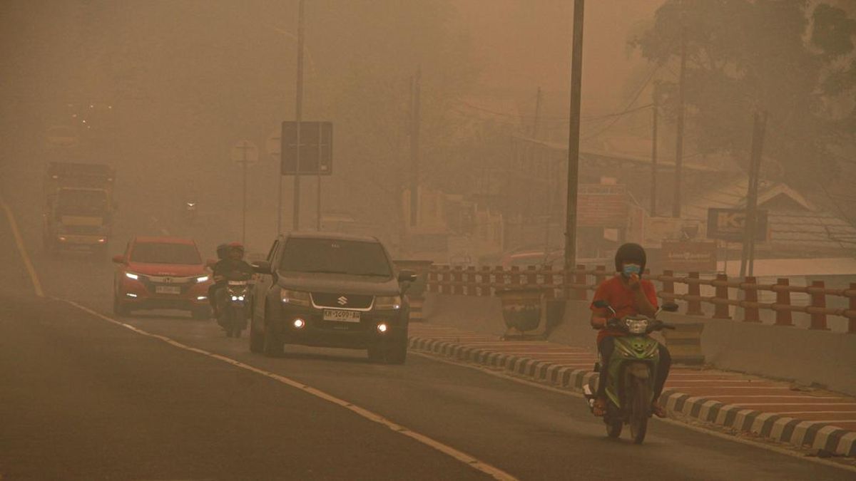
Indonesia’s Meteorology, Climatology and Geophysics Agency (BMKG) has released a list of areas still surrounded by smoke haze from forest and land fires.
Data recorded at 8 am Western Indonesia Time (WIB) on Saturday (17 October) detected haze in parts of Sumatra, Banten, Kalimantan, Maluku and Papua. Smoke has also spread across national borders, reaching Malaysia, Singapore and Papua New Guinea.
BMKG conducted its observations using imagery from the Himawari-9 satellite and the Red Green Blue (RGB) method. Smoke distribution is marked by red polygons on the satellite imagery. The method also takes into account the direction and speed of winds at the 1,000-millibar level and hotspot detection based on Geohotspot.
The following is the full list of Indonesian regions affected by haze as of 10 am WIB on Saturday (17 October:
North Sumatra
West Sumatra
Riau
Jambi
Riau Islands
Bengkulu
Bangka Belitung Islands
South Sumatra
Lampung
Banten
West Kalimantan
Central Kalimantan
South Kalimantan
East Kalimantan
North Kalimantan
West Sulawesi
South Sulawesi
Southeast Sulawesi
Central Sulawesi
Maluku
North Maluku
Southwest Papua
West Papua
Central Papua
Highland Papua
South Papua
Cross-border haze has spread from Sumatra to the Malay Peninsula and Singapore; from Kalimantan to the Malay Peninsula, Sarawak and Singapore; and from Papua New Guinea to South Papua.
BMKG also released air-quality data for several parts of Indonesia. As of 11 am WIB on Saturday (17 October), Pangkalanbun and Palangkaraya in Central Kalimantan were in the hazardous air-quality category, shown in black.
Air quality is assessed based on the concentration of PM2.5 particulate matter in an area. When levels exceed the threshold of 250.5 µg/m³, the area is classified as hazardous and marked in black.
Pangkalanbun recorded the highest PM2.5 concentration in Indonesia that day, at 374.8 µg/m³, followed by Palangkaraya at 342.8 µg/m³.
Source: jawawa.id (https://jawawa.id/newsitem/list-of-regions-still-shrouded-in-haze-today-1792219838)
Originally published by CNN Indonesia (https://www.cnnindonesia.com/nasional/20261017124304-20-1416461/daftar-daerah-yang-masih-dibekap-kabut-asap-hari-ini), translated from Indonesian