
List of Regions Affected by El Nino 2026: Risk Map and BMKG Advisory
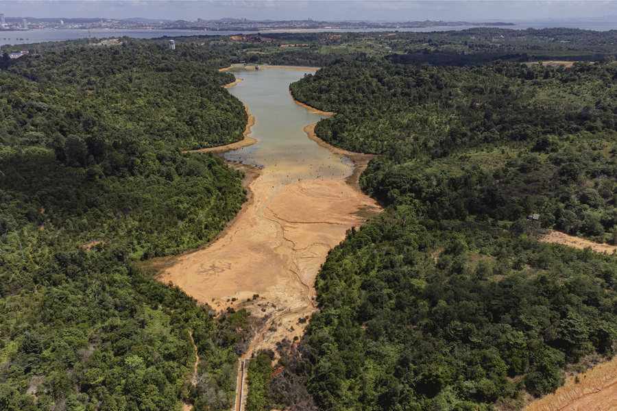
The El Niño climate phenomenon has once again become a serious concern for the Indonesian government and the public for the year 2026. The Meteorology, Climatology, and Geophysics Agency (BMKG) continues to monitor the dynamics of sea surface temperatures in the Pacific Ocean, which serve as the primary indicator for the emergence of this phenomenon. El Niño, characterised by sea surface temperature warming above normal, directly impacts the reduction of rainfall in Indonesian regions, triggering risks of prolonged drought, forest and land fires (karhutla), and clean water crises.
As we enter mid-2arr2026, BMKG has provided early warnings regarding several regions with high vulnerability to these climate anomalies. This mapping aims to ensure that local governments and relevant sectors, particularly agriculture and energy, can implement early mitigation steps to minimise economic and social losses.
El Niño in 2026 is predicted to have varying intensities across different regions. Generally, this phenomenon causes rain clouds to shift away from Indonesian territory towards the central and eastern Pacific Ocean. Consequently, the dry season in Indonesia is expected to be drier and longer than usual.
BMKG emphasises that although El Niño is a global phenomenon, its impact in Indonesia is heavily influenced by local conditions, such as Indonesian water temperatures (Dipole Mode) and regional topography. Therefore, the severity of drought will not be uniform across the archipelago.
Based on climate monitoring data, the following Indonesian regions are predicted to experience the most significant impacts from the 2026 El Niño phenomenon:
Central and southern Sumatra are the most vulnerable areas. A drastic decrease in rainfall increases the risk of forest and land fires in peatlands.
Java is identified as a critical area, as it serves as the national food granary and will be directly impacted in the agricultural sector. A significant decrease in reservoir and river water levels is predicted.
Similar to Sumatra, Kalimantan faces the threat of haze due to forest and land fires triggered by extremely dry land conditions.
Parts of Sulawesi and southern Papua are also included in the drought alert zone.
El Niño is not merely a matter of hot weather, but a threat to the stability of various vital sectors. To face El Niño 2026, synergy between the government and the community is required. Practical steps include weather modification, food stock management, and strengthening water reserves.
El Niño 2026 demands preparedness from all parties. By knowing the list of potentially affected regions, it is hoped that anticipatory measures such as weather modification, food stock management, and the strengthening of water reserves can be carried out more effectively. BMKG will continue to update information regarding the intensity and duration of this phenomenon to ensure Indonesia can navigate this climate challenge with minimal risk.