Leveraging Technology: Korlantas Deploys Precision ETLE Drone Patrols to Monitor Bocimi Functional Toll Road
The National Traffic Corps (Korlantas) of the Indonesian National Police is stepping up vehicle traffic monitoring along the Bogor-Ciawi-Sukabumi (Bocimi) functional toll road ahead of Operasi Ketupat 2026. The surveillance effort relies on technology, optimising the use of precision ETLE Drone Patrols.
The measure forms part of a strategy to strengthen modern technology-based traffic management, ensuring that vehicle distribution proceeds safely, smoothly and in a controlled manner along the strategic route connecting the Bogor area to Sukabumi.
The Bocimi Toll Road occupies a vital position as an alternative corridor to the national arterial road. The toll road not only accelerates inter-regional connectivity but also plays an important role in supporting public mobility, logistics distribution, and the growth of economic activity in southern West Java.
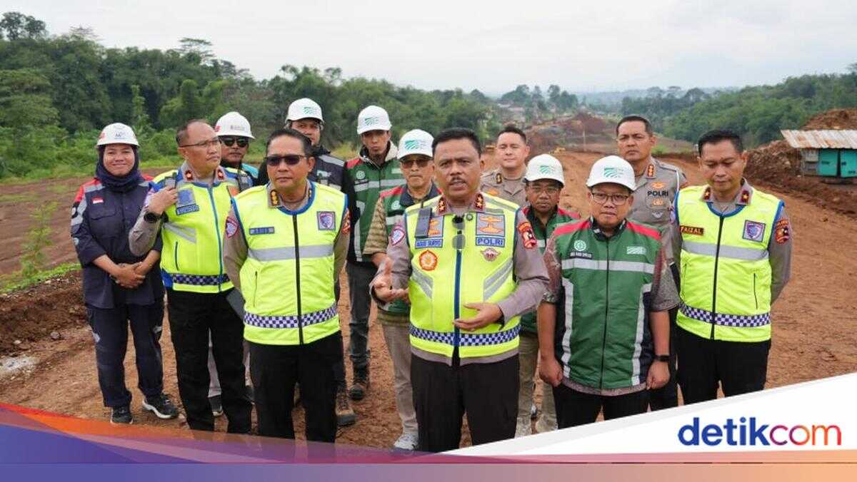
The monitoring operation was carried out under the direction of Korlantas chief Inspector General Agus Suryonugroho, coordinated by Korlantas law enforcement director Brigadier General Faizal, with technical support from Commissioner Dwi Sumrahadi Rakhmanto, head of the enforcement sub-directorate. This coordination ensures that monitoring proceeds systematically, with precision, and is integrated into the national traffic information system.
Through precision ETLE Drone Patrol flights along the functional toll road segments, officers obtain a comprehensive visual picture of traffic conditions. Monitoring is conducted to identify traffic volume, average vehicle speed, and congestion at critical points such as interchanges, merging zones, and toll entry and exit points. The aerial perspective enables real-time mapping across a broad coverage area that cannot be optimally achieved through ground-level surveillance alone.
Beyond observing vehicle movements, the operation also encompasses an evaluation of supporting infrastructure readiness along the functional route. This includes the placement of temporary signage, road barrier safety measures, road marking conditions, lighting, and the readiness of rest areas or emergency stopping points. All of these elements form an important part of ensuring the functional route can be used optimally and safely by the public.
Visual data and field information gathered through the precision ETLE Drone Patrol are subsequently analysed as a basis for traffic flow management planning. With the support of this technology, potential slowdowns or vehicle build-ups can be detected early, enabling anticipatory measures to be prepared swiftly and accurately when needed.
This aerial-based approach also strengthens an adaptive monitoring system responsive to changing conditions on the ground. Fluctuating vehicle flow dynamics, particularly during weekends or periods of increased mobility, can be mapped comprehensively so that traffic distribution between the toll road and arterial routes remains balanced.
The optimisation of monitoring along the Bocimi Toll Road reaffirms Korlantas Polri’s commitment to driving digital transformation in the traffic sector. The precision ETLE Drone Patrol serves not merely as a technological device but as a strategic instrument in delivering a modern, professional, transparent and data-driven monitoring system.