Latest positions and impacts of three tropical cyclone disturbances bearing down on Indonesia
BMKG (Badan Meteorologi, Klimatologi, dan Geofisika) released the latest information on three tropical cyclone disturbances formed around the Indonesian region, namely tropical cyclone disturbances 90S, 93S and 92P. BMKG also detailed their potential impacts.
The three disturbances had emerged since the end of February and have been monitored for possible impacts by BMKG. Based on observations from the Tropical Cyclone Warning Centre (TCWC) Jakarta, Thursday 5 March 2026, here are the details.
Update on the three tropical cyclone disturbances as of 5 March 2026:
Tropical Cyclone Disturbance 90S
Location: 11.7° South, 109.2° East
Wind speed: 35 knots (65 km/h)
Central pressure: 992 hPa
Description: Tropical cyclone disturbance 90S began forming on 27 February 2026 at 19:00 WIB, within the TCWC Jakarta monitoring area. It is currently located in the southern Indian Ocean, south of East Java.
Forecast: 90S has a Moderate chance of developing into a tropical cyclone and is expected to move slowly eastwards over the next 24 hours.
Tropical Cyclone Disturbance 93S
Location: 15.3° South, 135.7° East
Wind speed: 20 knots (37 km/h)
Central pressure: 1002 hPa
Description: 93S began forming on 2 March 2026 at 13:00 WIB, within the TCWC Jakarta monitoring area. It is currently located in the western Indian Ocean off Australia.
Forecast: 93S has a Moderate chance of developing into a tropical cyclone and is expected to move slowly westwards over the next 24 hours.
Tropical Cyclone Disturbance 92P
Location: 16.5° South, 119.6° East
Wind speed: 30 knots (55 km/h)
Central pressure: 996 hPa
Description: 92P began forming on 2 March 2026 at 07:00 WIB, within the TCWC Jakarta monitoring area. It is currently situated over northern Australia.
Forecast: 92P has a Low chance of developing into a tropical cyclone and is expected to move slowly westwards over the next 24 hours.
Direct and indirect impacts
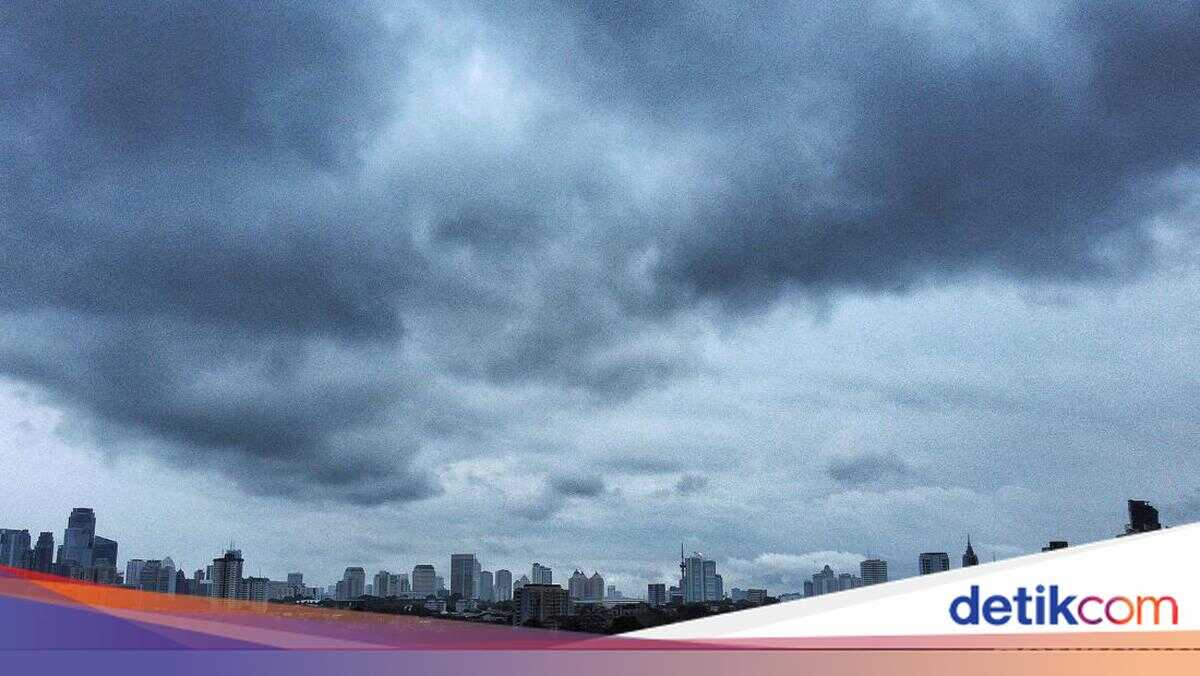
BMKG states that the three tropical cyclone disturbances will have indirect effects on weather and sea conditions in Indonesia within the next 24 hours up to Friday 6 March 2026 at 07:00 WIB.
Disturbance 90S
Moderate to heavy rainfall: West Java, Central Java, East Java, DI Yogyakarta, Bali, NTT.
Strong winds: Central Java, East Java, Yogyakarta, Bali, NTT.
High seas (1.25–2.5 m / Moderate Sea): Indian Ocean west of the Mentawai Islands to Bengkulu, Java Sea, Bali Sea, Sumbawa Sea, southern Makassar Strait, Flores Sea.
High seas (2.5–4.0 m / Rough Sea): Indian Ocean west of Lampung to Yogyakarta, Sawu Sea.
High seas (4.0–6.0 m / Very Rough Sea): Indian Ocean south of East Java to NTT.
Disturbance 92P
Moderate to heavy rainfall: southern coast of South Papua.
Strong winds: southeastern Maluku, southern coast of South Papua.
High seas (1.25–2.5 m / Moderate Sea): Banda Sea, waters around Leti and Tanimbar, waters around Kei and Aru, Arafura Sea.
High seas (2.5–4.0 m / Rough Sea): Arafura Sea.
Disturbance 93S
High seas (1.25–2.5 m / Moderate Sea): western Indian Ocean from Mentawai to Bengkulu, Java Sea, Bali Sea, Sumbawa Sea, southern Makassar Strait, Flores Sea.
High seas (2.5–4.0 m / Rough Sea): western Indian Ocean off Lampung to south of Yogyakarta, Sawu Sea.
High seas (4.0–6.0 m / Very Rough Sea): southern Indian Ocean from off Java to NTT.
BMKG further urged the public to heighten vigilance against potential hydrometeorological hazards such as flooding, inundation and landslides in vulnerable areas.