
Land Integration Project to Drive Geospatial Industry
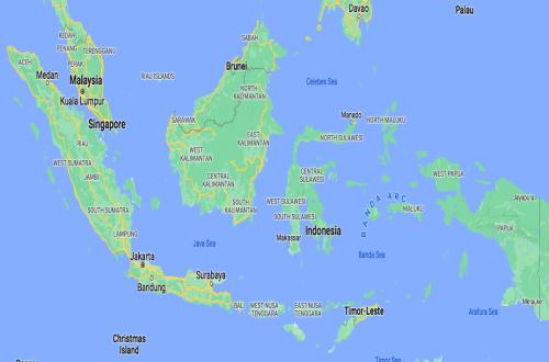
The USD 653 million Integrated Land Administration and Spatial Planning Project (ILASPP), supported by the World Bank, is seen as opening new business opportunities for the national geospatial industry. Industry players believe the land administration and spatial planning integration project can expand the market for domestic mapping companies while encouraging improvements in human resource capacity and technology adoption.
Encel Gani Sugandi, Chairman of the Indonesian Cadastral Surveyor Association (MASKI) for West Java, stated that the project, which runs from 2025 to 2029, is a momentum for national geospatial companies to enhance their competitiveness. However, he noted that this opportunity must be matched by company readiness from the planning stage. “Companies must carry out internal coordination, especially with the administrative teams involved. In addition, all requirements must be prepared, from personnel and equipment to initial capital if they win the work,” Encel said in a statement on Sunday.
Encel explained that large-scale projects like ILASPP require thorough preparation, meaning companies with good governance, planning, and capacity will have a greater chance of winning contracts. He assessed that the tender evaluation mechanism for mapping projects in Indonesia has been running in accordance with applicable regulations. He also noted that the involvement of foreign companies in open tenders could be an opportunity for the national industry to strengthen capacity through collaboration, adding that some Indonesian geospatial companies already possess equipment and experts capable of competing.
Encel added that the use of artificial intelligence (AI) is beginning to accelerate geospatial work, particularly in automating feature extraction and data processing. However, he stressed that AI processing results must still undergo validation by experts to maintain data accuracy.
Gumilar, Head of a Licensed Surveyor Office, said the main challenge for the geospatial industry currently is not the competence of experts, but rather the capacity of companies to meet the needs of large-scale projects. “Our human resources actually have good competence. The challenge is how company capacity, in terms of assets, working capital, and project experience, continues to be strengthened so they are more capable of competing in large-scale projects,” Gumilar said.
According to Gumilar, the current procurement mechanism has provided a good basis for tender implementation. However, more proportional work package structuring is still needed so that more national companies can participate and the geospatial industry’s capacity can continue to grow.
The ILASPP is a cross-ministerial collaboration project supported by USD 653 million in World Bank funding. The project integrates land administration data with spatial planning so that land certificate data, spatial planning, building permits, and administrative boundaries can be connected in one system. The Ministry of Agrarian Affairs and Spatial Planning/National Land Agency acts as the Project Management Unit, while the Geospatial Information Agency is responsible for the base map component. The project also involves the Ministry of Home Affairs, the National Development Planning Agency, the Ministry of Finance, and the Ministry of Transmigration to harmonise land data into a single national map.