
Lampung Deputy Governor: Map Firefighting Capacity According to Fire Scale
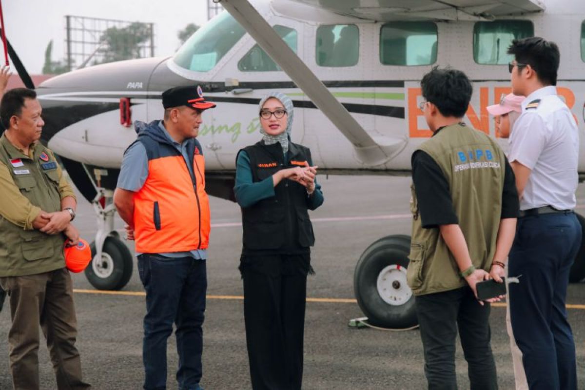
Bandar Lampung (ANTARA) — Lampung Deputy Governor Jihan Nurlela said it was important to map the capacity to tackle forest and land fires according to their scale.
“Response capacity needs to be mapped for fires of different sizes, from small and medium to large. This will allow the requirements for personnel, equipment and operational support to be matched to the severity of the fire and conditions in each area,” Jihan said in a statement in Bandar Lampung on Monday.
She also asked the Lampung Provincial Disaster Management Agency (BPBD) to record all personnel and equipment ready for deployment in every regency and city.
“This inventory is needed to establish the overall capacity to tackle forest and land fires and ensure support can be deployed as required, rather than focusing solely on Way Kambas National Park,” she said.
She added that the current response to fires in Way Kambas National Park is supported by 350 joint personnel, including 200 additional members of the Indonesian Military (TNI). Equipment has also been bolstered by 15 nozzles supplied by the National Disaster Management Agency (BNPB) to support ground crews’ firefighting efforts.
“Strengthening the ground response is important because aerial water-bombing operations are still hampered by the dense tree canopy in Way Kambas National Park. This prevents water from reaching the peatland surface effectively, so direct firefighting by personnel in the field remains an important part of the response,” she said.
Meanwhile, the weather-modification operation in Lampung recorded nine sorties over eight days, from 11 to 18 October 2026. It used a Cessna Caravan 208B EX aircraft based at Radin Inten II Airport.
The operation used 3,000 kilograms of sodium chloride (NaCl) and 4,800 kilograms of dry ice. Seeding with NaCl on 11–13 October successfully triggered rain, but wind patterns caused it to fall in Metro City and Natar district rather than in Way Kambas National Park, the main target area.
Hotspots continue to be monitored in several parts of Lampung. An evaluation found that the number of high-confidence hotspots had fallen from 11 to zero. Medium-confidence hotspots were still being detected, however, making continued vigilance and field monitoring necessary.
“We have also asked that information about hotspots and smoke pollution circulating on social media be verified by checking the latest conditions on the ground. This is important to ensure the public receives accurate information and to prevent misunderstandings caused by old photographs or reports being recirculated,” she said.