
Krakatau Ash Distribution on 8 September 2026 Across Indonesian Territory, Says BMKG
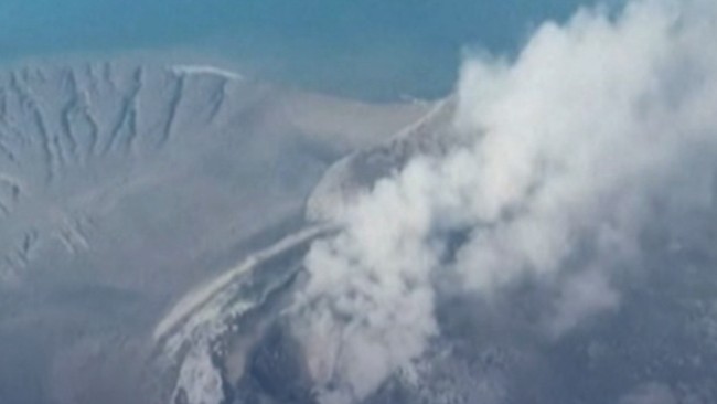
Jakarta, CNBC Indonesia — The Meteorology, Climatology and Geophysics Agency (BMKG) reported the distribution of volcanic ash from Mount Anak Krakatau as of 00:00 WIB on Tuesday (8/9/2026).
In a post on the X account of the Greater Meteorology, Climatology and Geophysics Centre for Region II, the report was based on volcanic ash distribution imagery. The ash was observed moving from the summit of Mount Anak Krakatau.
Its distribution was said to be at a low layer, with the surface at 15,000 ft / 4.57 km, moving towards the south and south-west.
The areas affected by the volcanic ash distribution are parts of Banten, the Indian Ocean north-west of Banten, and surrounding waters.
BMKG also explained that this height means the ash distribution has the potential to affect air quality, as well as visibility in the affected areas.
Meanwhile, the report at 08:00 stated that the volcanic ash was moving towards the south and south-west, distributed at a low layer with the surface at around 7,000 ft or 2.1 km.
The areas covered were north-western Banten and the Indian Ocean north-west of Banten.
Meanwhile, Mount Anak Krakatau erupted again from early Tuesday morning through to this morning. Magma, the Energy and Mineral Resources Ministry’s monitoring site for volcanoes across Indonesia, stated that the mountain had erupted three times up to 07:49 WIB, with durations varying considerably, at around 10–19 seconds.
Source: jawawa.id (https://jawawa.id/newsitem/krakatau-ash-distribution-on-8-september-2026-across-indonesian-territory-says-bmkg-1788843098)
Originally published by CNBC Indonesia (https://www.cnbcindonesia.com/tech/20260908111437-37-766108/sebaran-abu-krakatau-8-september-2026-di-wilayah-ri-ini-kata-bmkg), translated from Indonesian