
Joint task force battles land and forest fires in Kumpeh, Muaro Jambi
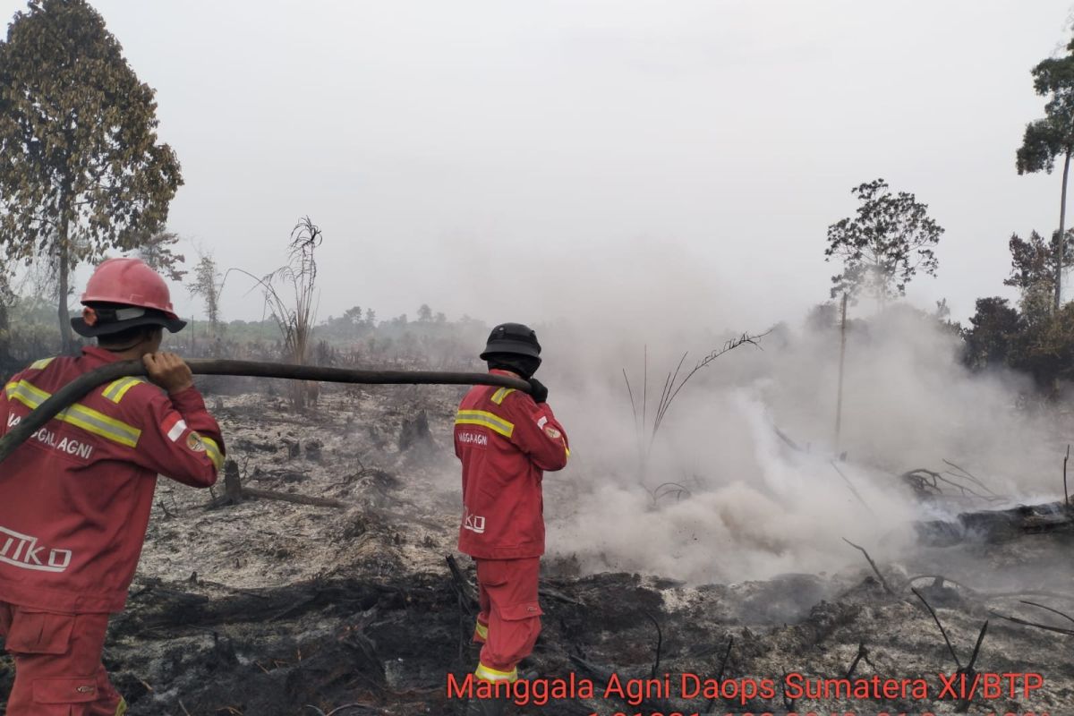
A joint task force comprising the Manggala Agni Operations Unit for Sumatra IX/Jambi City, the Indonesian National Armed Forces, the National Police, the Regional Disaster Management Agency and the RPK of PT PHL is still working to extinguish forest and land fires in Londerang Village, Kumpeh District, Muaro Jambi Regency.
“Based on the report, the fire coordinates are at S -1.40208 and E 103.88993, with the total burned area still being calculated, while the area that has been successfully extinguished is recorded at 0.2 hectares,” said Rinaldi, the Manggala Agni Regional Coordinator for Jambi Province, on Thursday.
The burned site consists of palm vegetation, scrub and ferns on peat soil. The area is designated for PT PHL and community land.
“As of this afternoon, the fire has not yet been extinguished,” Rinaldi said.
Water for firefighting is being sourced from a canal two metres wide and 100 centimetres deep at coordinates Lat -1.40271 and Long 103.88983. The fire is classified as a subsurface or peat fire on community land.
Rinaldi said the weather at the site has been clear from morning until late afternoon, with wind speeds of 15 km/h.
According to the incident report, the team received a report of a fire near PT PHL. Officers then used a mini striker machine with six connected hoses to work along the eastern flank of the fire.
The forest and land fire task force is continuing to cool and extinguish the area until the fire is completely out, in order to prevent it from spreading, particularly on peatland which is prone to smouldering.
Limited water sources and difficult road access are particular obstacles in the firefighting effort. Clearing the canal and digging small, deeper holes inside it, then waiting for water to collect, is the approach the team is currently using to obtain water for firefighting.