
Jayapura Acting Regent Supports Field Analysis of Cycloop Mountains Landslide Points
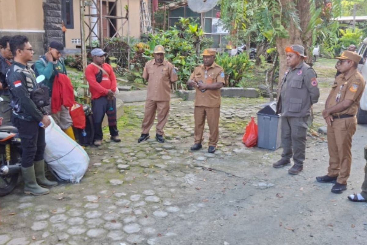
A joint disaster mitigation monitoring team from Jayapura Regency, Papua, has begun analysing the Kemiri River area and the Cycloop Nature Reserve to ascertain the current conditions at a landslide site with the potential to form a natural dam.
The joint team includes the Regional Disaster Management Agency (BPBD), the Centre for Natural Resources Conservation (BBKSDA), the National Search and Rescue Agency (Basarnas), the Memberamo River Basin Management Centre (BPDAS), the Environmental Service, WWF Indonesia, and the Saka Wanabakti Scouts.
“We fully support what this team is doing, because the activity has one purpose: to see and observe directly the conditions in the Mount Cycloop area,” he said.
He expressed the hope that the analysis submitted to the regional government must be genuinely accurate, objective and accountable.
“We emphasise the importance of thoroughness in compiling the results of the study, because errors in analysing natural conditions can affect public safety, especially if potential disasters are not identified precisely,” he said.
He explained that the Sentani area is a region with a fairly high level of disaster vulnerability. Consequently, mitigation efforts must be carried out to the fullest so that risks to the community can be minimised.
He added that the activity forms part of anticipatory steps by the regional government together with stakeholders to obtain accurate field data on the condition of the landslide point, while also gathering data as the basis for formulating disaster mitigation measures in the Cycloop mountain area.
Source: jawawa.id (https://jawawa.id/newsitem/jayapura-acting-regent-supports-field-analysis-of-cycloop-mountains-landslide-points-1785207221)
Originally published by Antara (Indonesian) (https://www.antaranews.com/berita/5668720/tim-pemantauan-kabupaten-jayapura-menganalisis-cagar-alam-cycloop), translated from Indonesian