ITS Students Develop AERIS to Identify Dengue Risk Areas
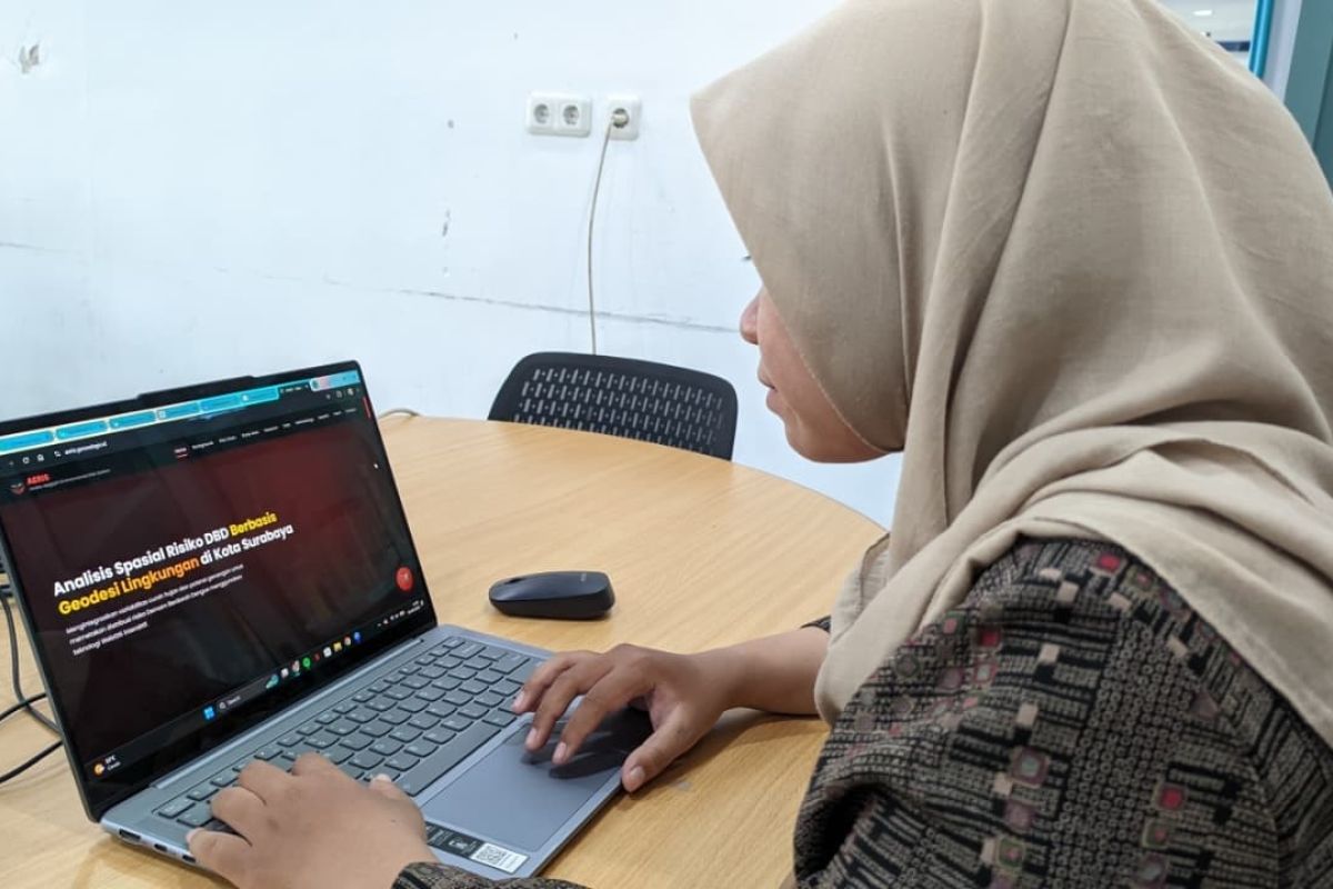
Students from the Sepuluh Nopember Institute of Technology (ITS) have developed the Aedes Aegypti Environmental Risk System (AERIS), a tool based on Web Geographic Information System (WebGIS) and machine learning to identify high-risk areas for Dengue Haemorrhagic Fever (DHF) in Surabaya. “Through this innovation, we are striving to shift the approach from responsive to preventative,” said AERIS Development Team Leader Rifqi Pangestu Wiguna in Surabaya, East Java, on Tuesday. Rifqi explained that the system predicts five sub-districts in Surabaya as high-risk DHF zones for 2026, namely Tambaksari, Rungkut, Tandes, Sawahan, and Semampir. This prediction was derived from processing Surabaya’s DHF case data for the 2019–2024 period, obtained from the Surabaya City Health Office, combined with various variables including rainfall, topography, population density, the distribution of standing water points, and six other variables. According to him, the more relevant factors integrated into the model, the better AERIS’s ability to predict DHF risk becomes. “This combination of variables enables the system to present risk information to support data-driven decision-making,” said the 2023 cohort student. The analysis indicates that DHF risk is concentrated in areas with high population density, while the presence of standing water is one of the most influential factors in the predictive model. “Therefore, managing standing water and eradicating mosquito breeding sites remains a relevant measure,” Rifqi stated. The model’s reliability was also tested using actual DHF case data from March 2025, which was excluded from the training process. The result was that the model was able to correctly identify nine out of ten sub-districts with the highest DHF cases. Beyond generating risk predictions, AERIS presents information in the form of an interactive map based on WebGIS, accessible via the aeris.geowebgis.id page. The platform displays visualisations of DHF case distribution, rainfall, health facilities, and disease risk predictions at the sub-district level. “We hope AERIS will become a data-based decision-making support tool,” he said. The development of AERIS aligns with ITS’s commitment to supporting the Sustainable Development Goals (SDGs), particularly the third point on healthy lives and well-being, and the eleventh point on sustainable cities and communities.