
ITN Malang Drafts Morotai Detailed Spatial Plan to Support Investment on Indonesia’s Outer Island
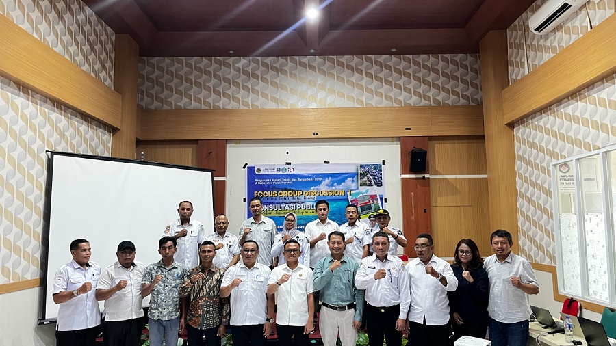
Reaching Indonesia’s outermost regions to support the future of local investment is no easy task. The Institut Teknologi Nasional Malang (ITN Malang) expert team was recently challenged by thick smoke from forest and land fires that closed flight routes, forcing its members to travel by sea for 15 hours to reach Morotai Island Regency in North Maluku.
Behind that challenge lay a major mission. Led by Dr Mohammad Reza, the ITN Malang team was appointed by the Ministry of Agrarian Affairs and Spatial Planning/National Land Agency (ATR/BPN) to prepare Detailed Spatial Plans (RDTR) through self-managed work for two planning areas: Morotai Jaya District, whose administrative centre is Sopi, and North Morotai District, centred on Bere-Bere.
“The central government, in this case the Ministry of ATR/BPN, wants to help local governments connect their regions to investment and business networks,” Reza said at ITN Malang’s Campus 1. He added that many regions lack the funding to prepare the technical RDTR documents required to integrate permits through the Online Single Submission (OSS) system.
During a series of activities that began with the first Focus Group Discussion (FGD) in early October 2026, residents and local officials voiced clear priorities. Morotai Island Regency Government expressly asked that the area not be directed towards heavy mining exploitation, particularly iron-sand mining.
“As a small island with a vulnerable ecosystem, ecological damage in one area will quickly affect the entire island. Development should therefore focus on coastal tourism, fisheries, marine industries, coconut plantations and forest products,” said Reza, a lecturer in ITN Malang’s undergraduate Urban and Regional Planning programme.
The ITN Malang team brings together experts from several fields, including urban and regional planning, architecture, civil engineering, geodesy and environmental engineering. Its Strategic Environmental Assessment (KLHS) work will also help ensure that proposed zoning does not overlap with protected forests, Sustainable Food Agricultural Areas (KP2B) or Protected Rice Fields (LSD).
The national project involves not only lecturers and senior experts but also ITN Malang students. The university says this will give them valuable field experience and strengthen their professional portfolios before graduation.
“We have involved three students in this area. We hope they gain experience and a track record that will add value to their CVs, having helped with stages of a Detailed Urban Spatial Plan project,” Reza added.
The Ministry of ATR/BPN has repeatedly entrusted ITN Malang with spatial planning work in Java, East Nusa Tenggara, Sulawesi and, most recently, North Maluku. The university says these assignments have strengthened its reputation as a trusted institution for national spatial development.
“The Ministry of ATR/BPN’s trust in us to prepare an RDTR in a border region such as Morotai Island is proof of our commitment. We want ITN Malang’s presence to make a direct difference to local communities, combining environmental conservation with investment certainty for the future of Indonesia’s outermost regions,” Reza said.
Source: jawawa.id (https://jawawa.id/newsitem/itn-malang-drafts-morotai-detailed-spatial-plan-to-support-investment-on-indonesias-outer-island-1793735437)
Originally published by itn.ac.id (https://itn.ac.id/seputar-kampus/berita/kawal-tata-ruang-pulau-terluar-itn-malang-susun-rdtr-morotai-demi-muluskan-iklim-investasi/), translated from Indonesian