ITB: Flash Floods in Sumatra Exceeded National Mitigation Standards
Jakarta (ANTARA) - A research team from the Bandung Institute of Technology (ITB) has stated that the flash floods that struck several areas in Aceh, North Sumatra and West Sumatra in November 2025 were triggered by extreme weather that exceeded national flood mitigation standards.
Heri Andreas, coordinator of the ITB Centre for Analysis and Applying Geospatial Information (CENAGO) research team, said in a statement received in Jakarta on Friday that the findings were based on forensic analysis of extreme precipitation, hydrological characteristics of three river basins — Badiri, Garoga and Batang Toru in North Sumatra — land cover changes, and hydrological-hydraulic simulations.
The ITB research team’s study found that rainfall of extremely high intensity rendered existing flood control systems inadequate, as they were not designed to withstand events of such magnitude.
“The extremely intense rainfall was caused by Tropical Cyclone Senyar, meaning the capacity of existing flood control systems was not designed to withstand an event of this scale,” he said.
Heri explained that high-resolution satellite imagery analysis showed that rainfall in late November 2025 reached extreme levels of 150–300 millimetres per day, and very extreme levels exceeding 300 millimetres per day.
ITB’s probability model categorised the event as R700 to R1000 — a return cycle of 700 to 1,000 years — far exceeding the national flood mitigation standard, which is generally designed for up to R50.
In conducting the study, Heri said the team did not rely solely on satellite image digitisation to classify land cover, but also incorporated precipitation data from BMKG and the United States’ NOAA, watershed and sub-watershed delineation, digital elevation models (DEM), as well as hydrological and hydraulic parameters.
“Quantitatively, the contribution of land cover changes, which have been blamed, is relatively small compared to the extreme weather factor,” Heri said.
The study’s findings were also discussed at a forum titled “Understanding the Root Cause of the 2025 Sumatra Floods for Science-Based Conclusion Reconciliation” held recently in Jakarta, attended by representatives from ministries, agencies and professional organisations.
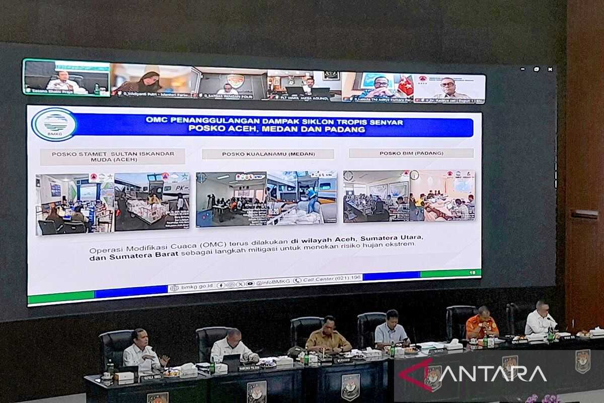
At the forum, BMKG representatives presented findings on the Tropical Cyclone Senyar phenomenon in late November 2025, which triggered extreme rainfall in several areas of West Sumatra, North Sumatra and Aceh. They described it as an exceptionally rare event in which the combination of extreme rain and landslides triggered flash floods, including in Garoga Village, South Tapanuli.
ITB geology specialist Dr Ahmad Imam Sadisun added that landslide areas affected by the massive extreme rainfall occurred in zones with very steep gradients, predominantly found in the upper Garoga watershed and protected forest areas.
ITB therefore stressed the importance of utilising high-precision geospatial data in disaster-related decision-making, so that every conclusion regarding the causes of disasters is formulated in a measured and proportionate manner.
“There remains a very significant task ahead — namely the use of data and information, such as geoscience data, for the analysis and decision-making of various problems,” said Ahmad Imam.