
Indonesia's Seasonal Forecasting Faces 'Extremely High' Complexity Due to Oceanic and Geographic Factors
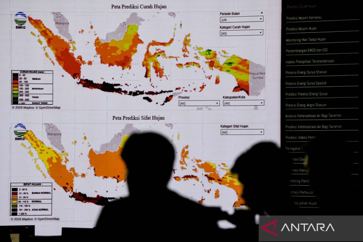
The Meteorology, Climatology, and Geophysics Agency (BMKG) has revealed that seasonal prediction in Indonesia has an extremely high level of complexity due to the influence of interactions between three large-scale ocean factors and unique local geographical characteristics.
BMKG Deputy for Climatology Ardhasena Sopaheluwakan detailed the three major ocean factors: sea surface temperatures in Indonesian waters, the Indian Ocean Dipole (IOD) phenomenon, and El Niño and La Niña in the Pacific Ocean.
“Sea surface temperatures in Indonesian waters influence the character of the season one to two months ahead. The Indian Ocean with the IOD influences rainfall, particularly in the western part, while the Pacific Ocean with El Niño and La Niña affects rainfall on an inter-annual scale,” he said at a press conference in Jakarta on Wednesday.
He explained that these factors become far more complicated when interacting with Indonesia’s geographical conditions, which consist of an archipelago with many mountain ranges across the centres of its islands. This topography creates numerous highly specific local climate anomalies, such as the western coastal region of Sumatra where rainfall is influenced by the Bukit Barisan mountains, resulting in characteristics opposite to those of the eastern side like Riau and Jambi.
Another example of high local climate uncertainty can be seen in Palu, Central Sulawesi, which tends to be hotter due to a very distinctive micro-climate, differing from the generally rainier characteristics of Sulawesi.
According to him, the biggest challenge for BMKG in improving seasonal forecast accuracy is calculating how various global and local factors influence each other, with differing impact timeframes in the tropics. “This makes climate prediction in Indonesia very challenging because of its local nature and the characteristics of the tropical region, which are certainly different from other regions like the subtropics,” he said.
This condition aligns with BMKG’s data update through the end of May 2026, where the expansion of drought areas began in 200 season zones (11.83 percent of land), identified by brown shading on the national climate distribution map. The movement of these dry zones is projected to surge drastically this June, entering 198 new season zones or the equivalent of 31.6 percent of the land area, covering parts of southern Jakarta and most of Kalimantan.
Entering July, the dry season will expand into another 66 season zones including western Jambi, East Kalimantan, eastern South Kalimantan, most of Sulawesi, and North Maluku. Conversely, BMKG has detected local anomalies due to widespread topographic effects in seven season zones (0.68 percent of land) which are actually above normal or wetter, namely in Bengkulu, northern and southern Gorontalo, and a small part of East Nusa Tenggara.
From a monthly analysis by BMKG’s Directorate of Climatology, most of Sumatra, from the west coast to Jambi and South Sumatra, is mapped as beginning to enter the rainy season in October, which then expands to other regions in November. The arrival of the rainy season is confirmed to be a momentum for recovery or a natural relief instrument for several regions after suffering prolonged dry conditions throughout the middle of this year. BMKG projects that rainwater supply will be at a fairly abundant level by the end of the year, with rainfall intensity in most of Indonesia falling into the medium to high category by December.