
Indonesian National Police utilise satellite data to accelerate forest and land fire response
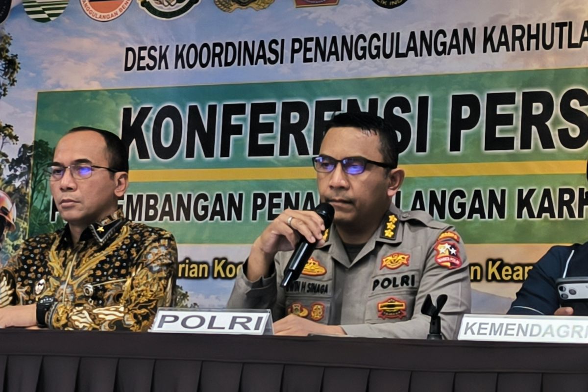
If fire is detected, firefighting operations are carried out and reported daily through the DORS (Daily Operating Reporting System) application.
Jakarta (ANTARA) - The Indonesian National Police (Polri) are utilising satellite data and monitoring via a Crisis Monitoring Center to accelerate the detection of hotspots and the management of forest and land fires (karhutla) during Operation Aman Nusa II for the July-September 2026 period.
Head of Public Relations for Polri, Commissioner Erwin Sinaga, stated that the satellite data received by the dashboard serves as the basis for personnel to conduct direct inspections via land and air patrols.
“Our handling mechanism begins with the transmission of satellite data to the dashboard and the Crisis Monitoring Center. Subsequently, personnel are ordered to conduct checks through land and air patrols,” Erwin said during a press conference held by the Forest Fire Management Coordination Desk at the Coordinating Ministry for Politics and Security in Jakarta on Thursday.
“If fire is found, firefighting is conducted and reported daily through the DORS (Daily Operating and Reporting System) application,” he added.
Erwin noted that this pattern is part of Polri’s efforts to strengthen early detection and response to forest and land fires, which is carried out through the formation of task forces and regular patrols in high-risk areas.
“Our efforts include the formation of task forces, enhancing early detection, routine patrols, and strict, uncompromising law enforcement against anyone involved,” he said.
To support this operation, Polri has deployed personnel to several priority regions. The Riau Regional Police and its subordinates have involved 4,764 personnel, the Jambi Regional Police 873 personnel, and the South Sumatra Regional Police 1,000 personnel.
In addition to operational personnel in the regions, Polri has dispatched 403 personnel from the Polri Education and Training Institute (Lemdiklat Polri)—comprising senior leadership, middle management, and junior officers—to various regional police departments for 25 days to support community education.
Polri has also distributed specialised equipment (Almatsus) to all priority regional police departments to support readiness in handling forest and land fires.
Erwin emphasised that this series of measures is not only directed at firefighting but also at prevention through early detection, patrols, education, and law enforcement against violations related to forest and land fires.
Source: jawawa.id (https://jawawa.id/newsitem/indonesian-national-police-utilise-satellite-data-to-accelerate-forest-and-land-fire-response-1790863134)
Originally published by Antara (Indonesian) (https://www.antaranews.com/berita/5767181/polri-gunakan-data-satelit-untuk-percepat-penanganan-karhutla), translated from Indonesian