
Indonesian Military Deploys Joint Alfa Team to Map Forest Fire Hotspots in West Kalimantan
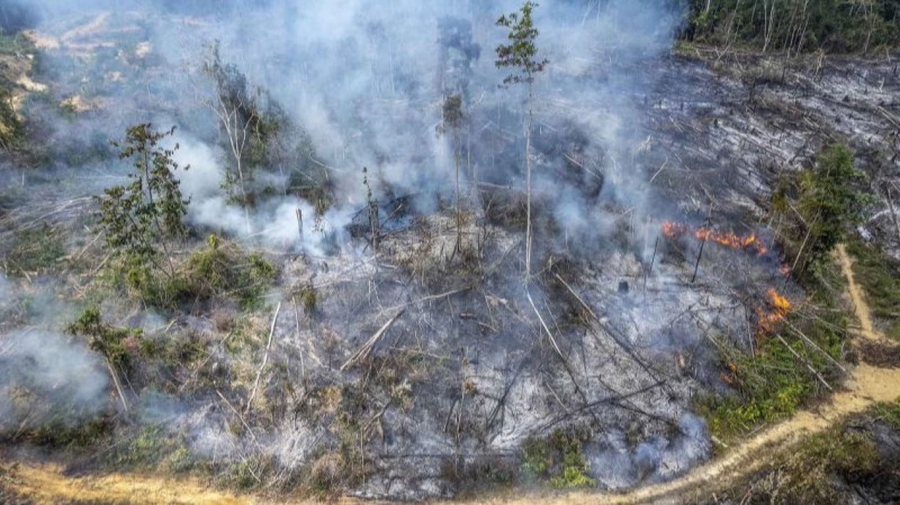
A joint Alfa Team, comprising personnel from three branches of the TNI, is conducting aerial surveillance and mapping to detect hotspots and identify the quickest routes to forest and land fire (karhutla) locations in the West Kalimantan region.
“The activity is supported by Yon Parako 466 Pasgat, which has deployed one Visual Control Point (VCP) team to direct paramotor movements during the aerial mapping operation in Mekarsari Village, Sungai Raya District, Kubu Raya Regency,” said the VCP Lead from Yon Parako 466 Pasgat, Lieutenant Pas Richo Hamdan, in Sungai Raya on Tuesday, 1 September 2026.
Richo explained that the Alfa Team is a combination of personnel from several units, including Kopassus, Korpasgat, Kostrad, and the Marine Corps, deployed to accelerate the detection and handling of hotspots in areas that are difficult to reach via land.
The deployment of these airborne troops is part of Military Operations Other Than War (OMSP) to assist the public and the government in managing disasters, including forest and land fires.
Through aerial monitoring using paramotors, the team is performing surveillance and mapping to pinpoint hotspot locations while simultaneously determining the nearest access points for firefighting personnel to reach the fires.
“Aerial mapping is considered vital because several fire points in West Kalimantan are located in savannah and alang-alang grassland areas that are highly flammable, allowing fires to spread rapidly,” he said.
Furthermore, accessing fire locations via land routes requires significant time, particularly when attempting to reach remote and isolated areas.
With aerial mapping, personnel are expected to reduce travel time by determining landing points and the shortest paths to the fire sites.
“Personnel will not need to search the area randomly, but can head directly to the points identified through aerial monitoring,” he added.
In addition to paramotors, drones are also being utilised to assist in detecting hotspots and providing an overview of field conditions before personnel move towards the locations.
“This strategy is expected to increase the speed and precision of forest fire handling, especially in difficult-to-reach forest and land areas, ensuring that fires can be controlled immediately before they spread,” he concluded.