
Indonesia develops tracking system for forest fires in concession areas
Jakarta (ANTARA) - The Indonesian Government, through the National Disaster Mitigation Agency (BNPB), is developing a system to track forest and land fires by integrating spatial data with permit information. The system is intended to strengthen monitoring and fire prevention, particularly within forest concession areas.
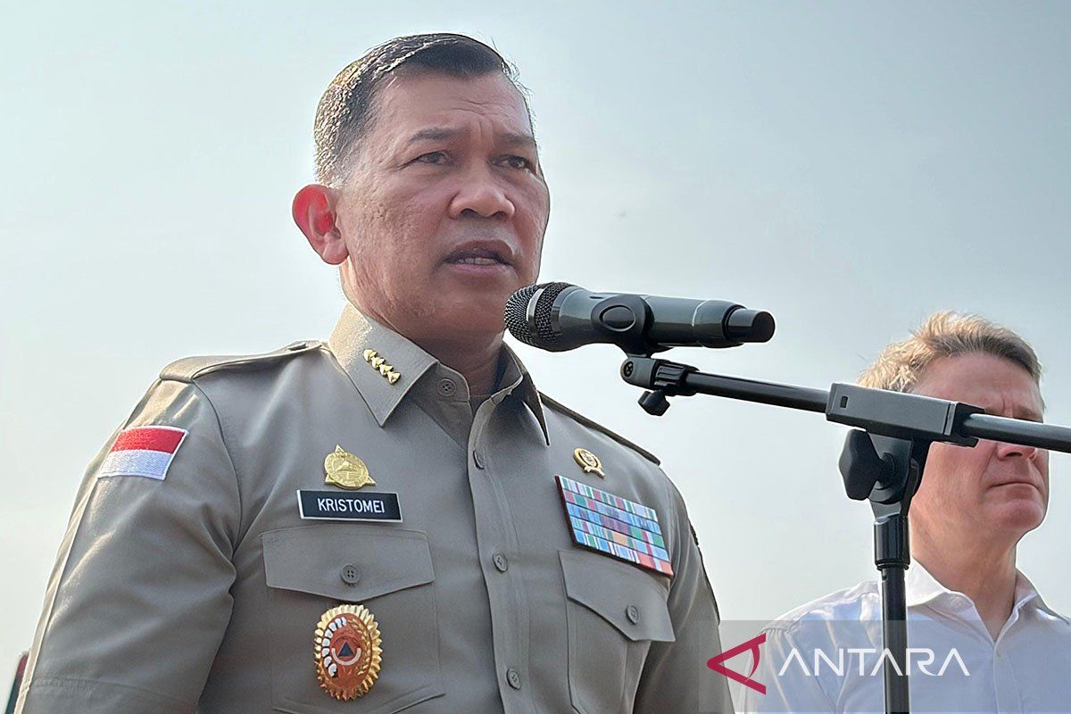
BNPB chief Kristomei Sianturi said the system combines hotspot and burned-area data with information on permits and land tenure, including cultivation rights (HGU), land management rights (HPL), and forestry and plantation concessions.
“This is a system we are developing at BNPB. We can monitor changes in the extent of hotspots and burned areas every day, so we can see which areas are experiencing a decrease or an increase,” he said at a press conference on fire management at the Coordinating Ministry for Political and Security Affairs in Jakarta on Monday.
He added that integrating spatial data with permit information would enable the Government to identify the parties holding permits for, or managing, land where fires are detected.
“If a fire occurs on a plot of land, we can already see which company owns the land or holds the concession over it. We have overlaid data on HPL, concessions, HGU and building use rights (HGB,” he said.
“We will share this data with relevant ministries and agencies, including the police, the Ministry of Agrarian Affairs and Spatial Planning/National Land Agency, and the Ministry of Forestry. It will help support law enforcement and prevention so that similar incidents do not happen again,” he said.
Strengthening the monitoring system is important given that forest and land fires continue to occur in several parts of Indonesia.
Based on monitoring by BNPB’s Geoportal for Indonesian Disaster Data (GIS) and NASA’s FIRMS satellite system up to 6pm Western Indonesian Time on Sunday (8 November), there were 2,529 hotspots and 976 fire hotspots, with a total burned area of 5,335 hectares. Around 1,925 hectares were still being monitored as not yet extinguished.
Central Kalimantan was reported to have the highest number of hotspots, at 443, followed by South Papua with 427 and Southeast Sulawesi with 279.