
Impact of Mindanao Earthquake: Two Houses Lightly Damaged in Sangihe Islands
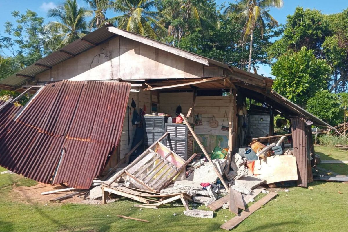
Basarnas North Sulawesi continues to urge coastal communities to remain vigilant against potential aftershocks. Two houses in the Sangihe Islands Regency, North Sulawesi, sustained light damage following a magnitude 7.7 earthquake that struck the South Mindanao coast of the Philippines at 06:37 WIB, at a depth of 47 kilometres.
“From the information we have received, there are two houses that suffered light damage following the earthquake,” stated the Head of Basarnas North Sulawesi, George L. M. Randang, in Manado on Monday. He also noted that, in addition to the property damage, three residents reportedly sustained minor injuries.
“We are continuing to investigate the information received by deploying personnel in the field,” George added. He further noted that the BMKG (Meteorology, Climatology, and Geophysical Agency) had issued an update lifting the tsunami early warning at 10:15 WIB.
Despite the lifting of the warning, Basarnas North Sulawesi maintains its call for coastal residents to remain alert to possible aftershocks. The agency is currently coordinating with relevant parties, including the affected regency and municipal governments.
On Monday, 8 June 2026, at 06:37 WIB, the South Mindanao coast of the Philippines was struck by a tectonic earthquake. BMKG analysis indicates a magnitude of 7.7 at a depth of 47 km. The epicentre was located at coordinates 5.80° N; 125.14° E, specifically in the sea, approximately 244 kilometres northwest of Karatung Island, North Sulawesi.