
IKN targets five locations for aerial wetting to prevent forest and land fires
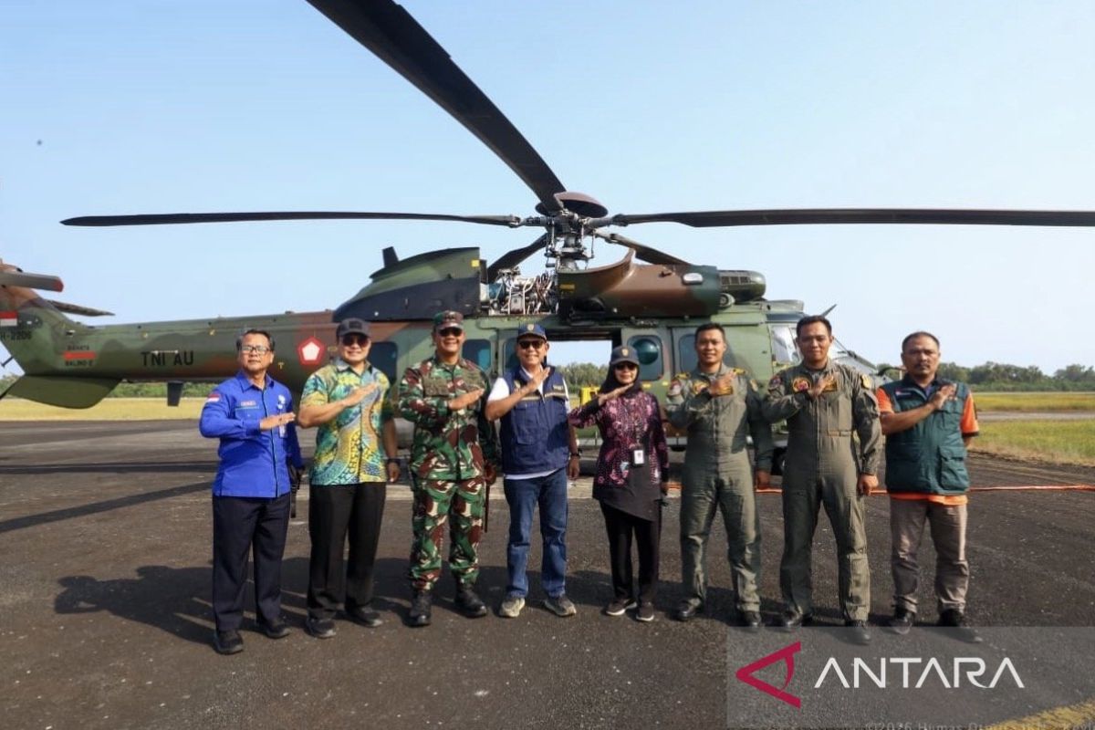
Five locations within the buffer zones of the Nusantara Capital City (IKN) in East Kalimantan Province have been targeted for aerial wetting via water bombing to combat forest and land fires.
“The first location is the Bukit Tengkorak area, which is part of the Bukit Soeharto Forest Park (Tahura),” said Myrna A. Safitri, Deputy for Environment and Natural Resources at the IKN Authority (OIKN), when confirmed in Penajam on Saturday.
Myrna added that the next targets for the operation are located along the stretch from Bukit Merdeka to Teluk Dalam on the Samarinda–Balikpapan axis.
Wetting efforts are also directed towards the Wonotirto area towards Tanjung Harapan, which consists of peat swamp areas that are currently drying out.
“This geographical condition makes aerial firefighting a far more effective and safer option than deploying ground personnel via pedestrian routes,” Myrna explained.
In a separate statement, Danis H. Sumadilaga, Special Staff to the Head of OIKN for Construction Management and Strategy, explained that the IKN Authority is collaborating with the National Disaster Management Agency (BNPB) and the Indonesian Air Force (TUK) to execute the forest fire operation.
This tactical operation was launched after recent monitoring showed a significant increase in fire risks across several buffer zones of the new capital.
The helicopters used in the operation are equipped with ‘Bambi buckets’ capable of carrying two tonnes, or approximately 2,000 litres of water, per flight.
“This operation is intended not only to extinguish active hotspots but also to dampen areas that are at risk of catching fire,” said Danis.
He added that land wetting is a crucial step in suppressing the risk of fire spread, particularly given the frequently fluctuating wind conditions in the field.
The IKN Authority ensured that monitoring of fire-prone areas will continue intensively throughout this high-risk dry season period.
Data from the Meteorology, Climatology, and Geophysics Agency (BMKG) and periodic reports from field officers will serve as the primary basis for determining the coordinates of subsequent wetting areas, especially if daily wind and temperature conditions show increased risk indicators.