IKN Authority Uses Drones to Map Water Flows in Sepaku Corridor
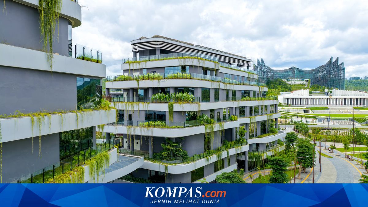
JAKARTA, KOMPAS.com - The Nusantara Capital Authority (IKN) will use drones to map water flow as part of drain design planning in Sepaku Corridor, Penajam Paser Utara Regency, East Kalimantan. The step forms part of the drain design planning process included in the Sepaku Corridor development programme, covering Sukaraja Village and Bukit Raya Village, Sepaku District. Director of Social Infrastructure at the IKN Authority, Agus Ahyar, said field surveys using drones are conducted to ensure the drainage construction is carried out with targeted precision. He explained that the planning process would also be accompanied by technical specifications to support on-site project implementation. Agus Ahyar said that development of the area around the Kawasan Inti Pusat Pemerintahan (KIPP) would prioritise a community empowerment model. “We will soon develop the area planning for Sepaku and Sukaraja villages. We want to build the settlements around KIPP using a community empowerment model. In the future, the community will undertake its maintenance,” said Agus. Agus explained that programme funding comes from the State Budget (APBN) and will be disbursed directly to the community without levies. “This programme will be sustainable and coordinated by four community groups,” said Agus. Earlier, OIKN held a community meeting on drainage development in Sukaraja Village on Tuesday (19/05/2026). The event, held at the Sukaraja Village’s Sports Hall (GOR Sukaraja), provided a forum for dialogue with residents to absorb aspirations and strengthen community participation in the Sepaku Corridor development. Sukaraja Village Head Sugianto urged residents to support the programme to create a better environment. “In our village, heavy rains often cause flooding due to faulty drainage channels. Therefore, we hope all parties will work well for the common good,” said Sugianto. Drainage planning is part of the Sepaku Corridor development programme aimed at supporting the formation of a new ecosystem in the IKN KIPP through a more orderly, aesthetically pleasing, and sustainable environment. The planned Sepaku Corridor area covers about 219.76 hectares at the meso scale, with a micro area along Jalan Negara corridor of about 59.64 hectares. Beneficiaries include residents of RT 001 to RT 011 of Bukit Raya Village and RT 001, RT 006, and RT 007 of Sukaraja Village.