
Home Affairs Ministry Strengthens Village Boundary Mapping Accuracy Through ILASPP
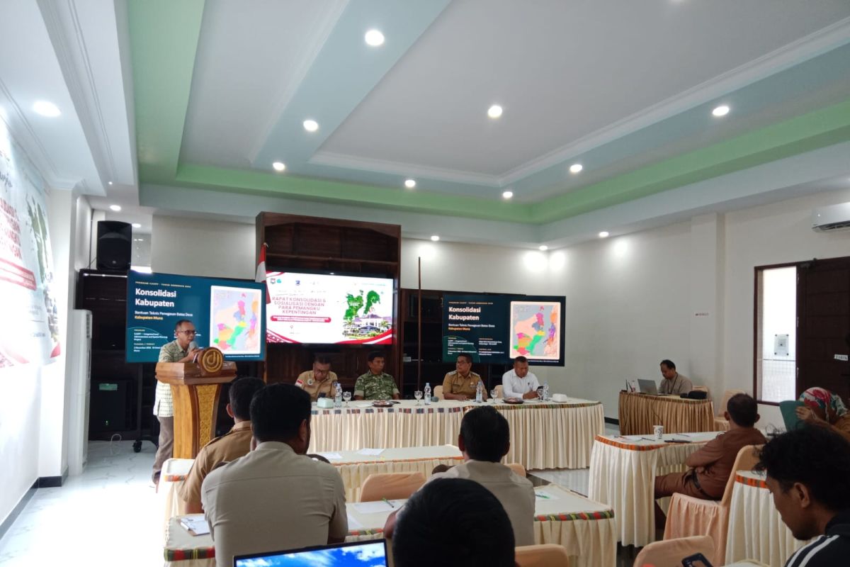
Jakarta (ANTARA) — The Directorate General of Village Administration at the Ministry of Home Affairs is committed to improving the accuracy of village boundary demarcation through the Integrated Land Administration and Spatial Planning (ILASPP) programme.
Lusje Anneke Tabalujan, director of facilitation for village administration and governance arrangements at the directorate general, has stressed that certainty over territorial boundaries is an essential foundation for development.
“Village boundaries form the basis for development planning in villages,” Lusje said in a statement in Jakarta on Wednesday.
The initiative will help local governments prepare accurate territorial data before village administrative boundaries are definitively established.
Programme outreach sessions were held on 30 October 2026 in Central Buton and West Muna regencies. The topics covered policies on village boundary demarcation, support from the Geospatial Information Agency (BIG), the selection of base maps, boundary-tracing methods and technical verification of demarcation results.
In its presentation, BIG explained the importance of using the 1:5,000-scale Indonesian Topographic Map (RBI) as the base map for village boundary demarcation. The scale is considered to provide suitable geometric accuracy and feature detail for identifying territorial boundaries, including roads, rivers, waterways and buildings.
If a 1:5,000-scale RBI map is unavailable, the government may use high-resolution orthorectified imagery (CTRT) with a spatial resolution of at least four metres. Imagery from other sources may also be considered if it meets the required technical specifications.
BIG’s presentation also emphasised the importance of integrating geospatial data. Thematic maps prepared by ministries, local governments or other parties should refer to a base map to prevent overlaps in land use, licensing and development programmes.
The boundary demarcation process includes collecting and examining documents, selecting a base map, tracing territorial boundaries, reaching agreements between villages and ratifying boundary maps through a regional head’s regulation.
The process can use the cartometric method, which traces boundaries using maps and digital data, or the terrestrial method, involving on-site surveys.
Materials from the Directorate General of Village Administration put the national rate of confirmed village boundaries at 16.77 per cent, or 12,622 of 75,266 villages. The figures are based on the results of coordination meetings on village boundaries and village administration.
In Southeast Sulawesi, the figure stands at 82 of 1,908 villages, or about 4.30 per cent. Central Sulawesi has 199 villages with regional-head regulations establishing their boundaries, out of 1,842 villages, or about 10.80 per cent.
In the Southeast Sulawesi areas covered by ILASPP, 81 villages in West Muna Regency and 67 in Central Buton Regency are programme targets. They are among 272 villages in Muna, West Muna and Central Buton included in the accelerated boundary-demarcation effort.
Lusje has also urged local governments to complete their village-boundary progress reports with supporting documents, including regent regulations, digital data and records of agreements. She said clear boundaries are important for orderly population administration, clarity over assets, reducing territorial disputes and ensuring government programmes reach the intended beneficiaries.
Through ILASPP outreach and technical support, the Directorate General of Village Administration is encouraging local governments to strengthen coordination with BIG, sub-district administrations and village governments. The aim is for boundary demarcation to produce not only maps but also legal documents and territorial maps that can guide development and village public services.
Source: jawawa.id (https://jawawa.id/newsitem/home-affairs-ministry-strengthens-village-boundary-mapping-accuracy-through-ilaspp-1793771769)
Originally published by Antara (Indonesian) (https://www.antaranews.com/berita/5830787/kemendagri-perkuat-akurasi-peta-batas-desa-dengan-ilaspp), translated from Indonesian