
Home Affairs Ministry Offers Five Solutions to Navy Land Dispute in Pasuruan
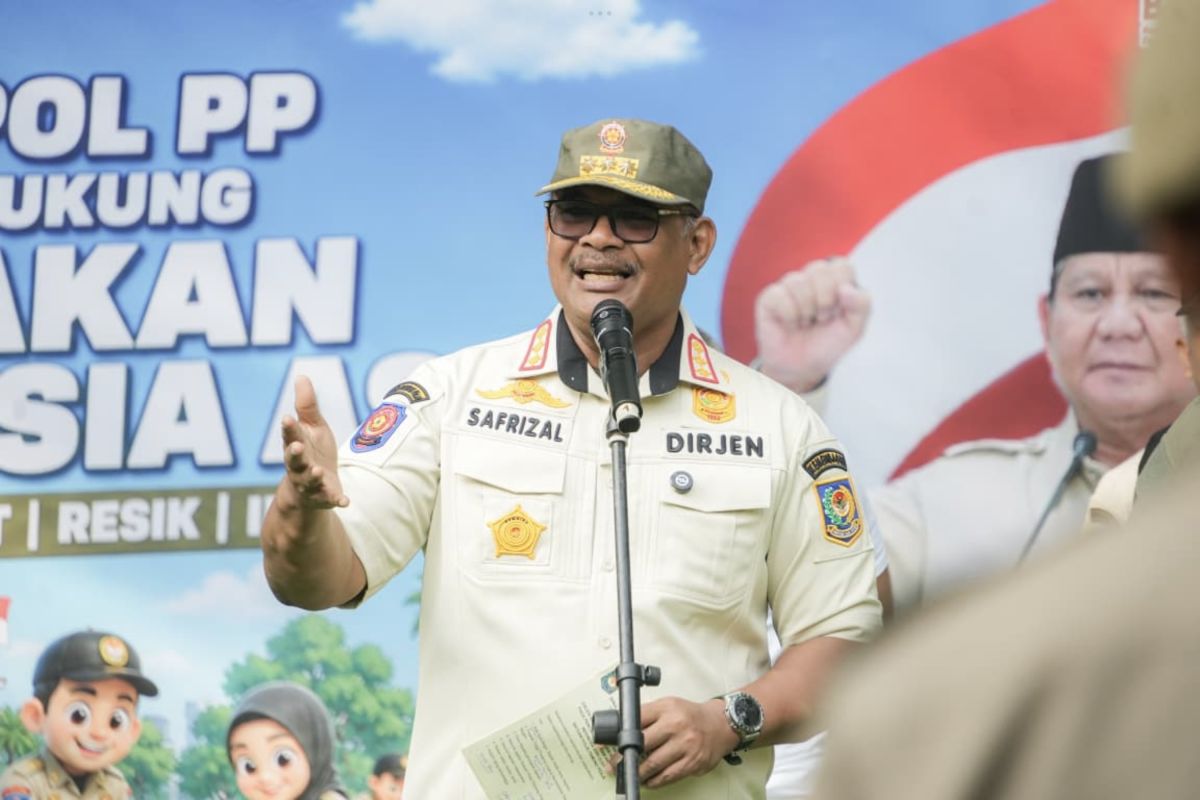
The Director General of Regional Administration Development at the Ministry of Home Affairs, Safrizal ZA, has stressed the importance of territorial data accuracy and a coordinative approach to end the land dispute between the Indonesian Navy and the community in Pasuruan Regency, East Java. Safrizal conveyed this during a Hearing Meeting with Commission II of the House of Representatives which discussed area management in East Pasuruan. The issue, which has dragged on since 1960, is deemed to require a comprehensive solution that balances the interests of national defence and the social rights of residents. Safrizal outlined five crucial aspects key to unravelling the tangled dispute over the 3,600-hectare land: Administratively, the Navy currently holds 14 Right of Use certificates. However, Safrizal revealed an anomaly on the ground where there are 10 definitive villages with official regional codes and active village officials receiving Village Funds on the land. “There are villages where half is within the right-of-use area, and some where the entire village is. This issue is not yet settled because it has already spanned four generations of residents since 1960. This is what we must think about together,” said Safrizal. The ministry is pushing for firm spatial planning separation. Detailed mapping is needed to separate areas that are absolute for defence aspects (combat training), residential areas, and economic management areas to prevent overlapping functions in the future. Regarding residents’ aspirations concerning land status, Safrizal reminded that the land is a state asset. The Ministry of Defence and the Navy cannot release assets unilaterally. The process must go through an official mechanism with the approval of the Ministry of Finance as the state asset manager. The concrete step pushed by the Ministry of Home Affairs is the provision of accurate geospatial data. Currently, the central government requires point-by-point polygon coordinate data to be overlaid with the existing community spatial utilisation map. If the data does not reach a common ground, the ministry fully supports a direct field review. On-site verification of data and detailing of real territorial boundaries are considered the final path to ensure transparency for both parties. Through transparent data integration and a spirit of deliberation, the Government hopes that state defence rights will be maintained without neglecting the social rights of residents who have settled for decades in the area.