
History of Sawangan Road, Now Divided into the Nicknames Kubro and Sugro
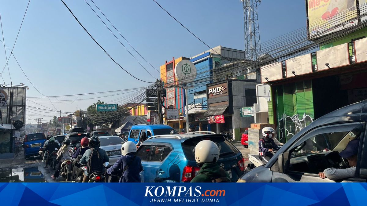
DEPOK, KOMPAS.com – Jalan Raya Sawangan up to Jalan Raya Muchtar in Depok holds a long history that is not widely recognised by its current users. Behind the almost continuous stream of vehicles, this road was not originally designed to bear the burden of a modern city, but rather as a simple connecting route serving the distribution of plantation produce. From the 17th to 19th centuries, the Sawangan area was known as a supporting region. The route that now forms Jalan Raya Sawangan and Jalan Raya Muchtar served as a link between production areas, carrying agricultural products to trading centres. Housing developments of various classes have grown, attracting increasing daily mobility, while the same road remains in use without significant changes to its capacity. The transformation of Sawangan’s face has become increasingly evident as the road has turned into one of Depok’s main connectors. This stretch channels vehicles to and from Pancoran Mas, Sawangan, and Bojongsari, making it an inevitable mobility hub. Urban planning observer M. Aziz Muslim states that the density in the area had already formed long before new infrastructure arrived. Rapid settlement growth has naturally increased vehicle volumes, piling up on a road whose capacity has not changed much. When access to the Depok-Antasari Toll Road was opened, particularly through the Sawangan toll exit, the flow of vehicles intensified even further. The road, which was not initially designed as a main city corridor, now has to bear the additional spillover from the toll network. “After the Sawangan toll exit became operational, vehicle volume has increased even higher,” he said. Amid the increasingly felt density, terms have emerged from netizens’ conversations, namely Sawangan Kubro and Sawangan Sugro. These two nicknames were not born from official planning, but from the daily experiences of road users who feel the contrast in conditions in two different directions.