
High waves forecast to hit several Indonesian waters
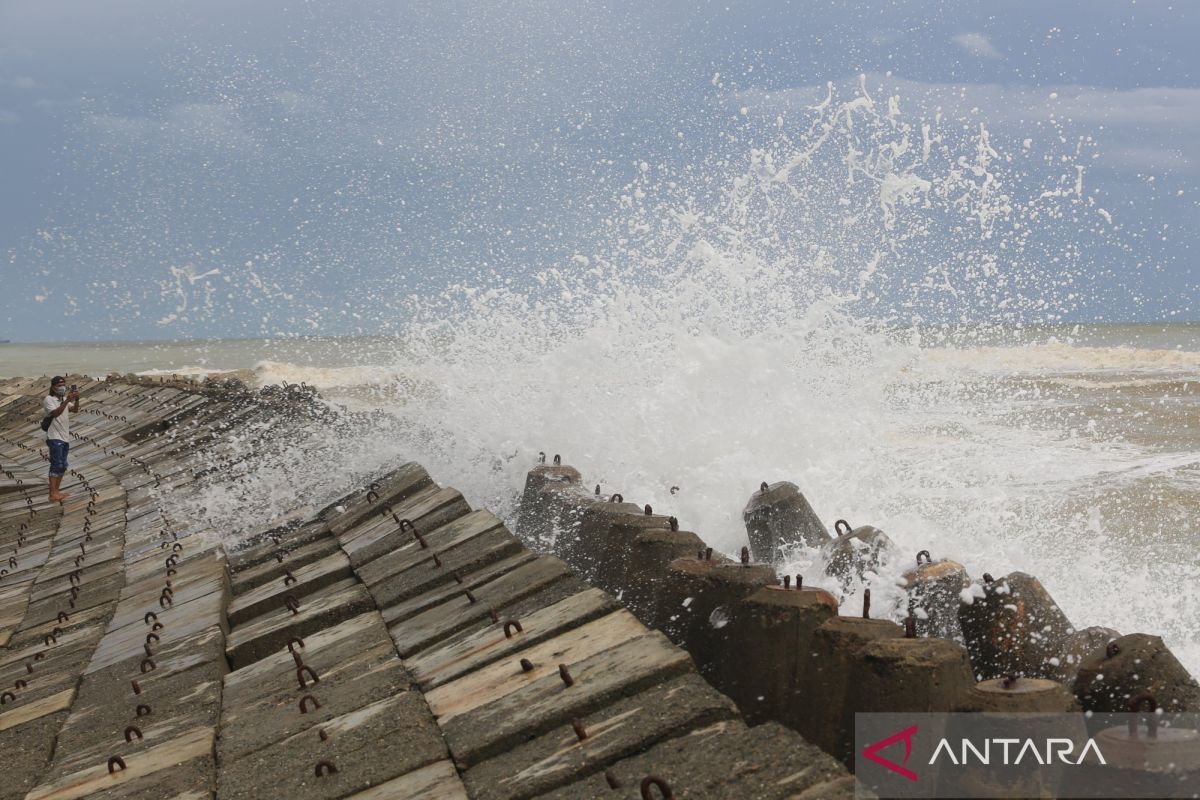
The Meteorology, Climatology, and Geophysics Agency (BMKG) has announced that waves ranging from 2.5 metres to four metres are likely to affect several Indonesian maritime areas from 10 to 13 June 2026.
According to information released via BMKG’s social media accounts, during this period, waves between 2.5 and four metres are expected to appear in the Indian Ocean west of the Nias Islands and in the waters south of Banten.
Furthermore, the waters of Bengkulu, Lampung, West Java, Central Java, Special Region of Yogyakarta, East Java, Bali, West Nusa Tenggara, and East Nusa Tenggara are also likely to face waves of 2.5 to four metres until 13 June 2026.
BMKG stated that high waves could pose risks to maritime safety. Residents are urged to monitor weather conditions before heading to sea or travelling via maritime transport.
According to BMKG, winds at speeds of 15 knots and wave heights of 1.25 metres could pose safety risks for the operation of fishing boats. The operation of barges is considered risky when wind speeds reach 16 knots and wave heights are around 1.5 metres. Ferry vessels potentially face safety risks if wind speeds reach 21 knots and wave heights reach 2.5 metres.
BMKG advises fishermen, ship operators, and coastal communities to monitor weather and sea wave information to anticipate safety risks while engaging in maritime activities.
Source: jawawa.id (https://jawawa.id/newsitem/high-waves-forecast-to-hit-several-indonesian-waters-1781041871)
Originally published by Antara (Indonesian) (https://www.antaranews.com/berita/5601545/gelombang-tinggi-berpeluang-menyambangi-sejumlah-perairan), translated from Indonesian