
High Seismic Activity at Mount Semeru Maintains Alert Status
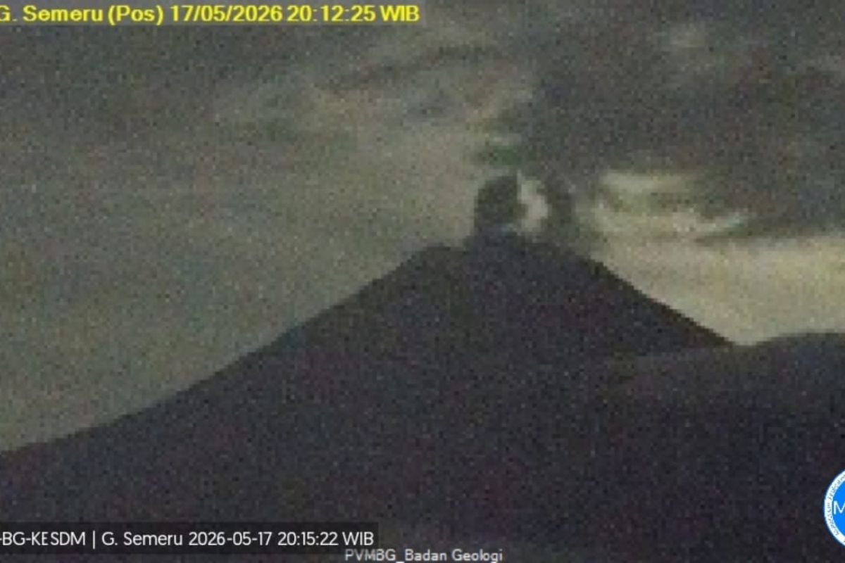
Lumajang, East Java — The Acting Head of the Geological Agency, Lana Saria, stated that activity at Mount Semeru, which stands at 3,676 metres above sea level, has remained high over the past week, resulting in its status remaining at Level III (Alert).
“During the period of 8–15 May 2026, Semeru demonstrated that its activity is still dominated by surface processes,” he said in a written statement received in Lumajang on Monday. According to Saria, eruptions, pyroclastic clouds, and lava flows are still occurring, though they are rarely visible due to foggy weather conditions.
He noted that the accumulation of eruptive materials, including lava flows and the formation of scoria cones, poses a potential risk of incandescent lava falls or pyroclastic clouds. Recorded seismic data indicates that activity remains relatively high, particularly regarding eruption, collapse, inflation, harmonic tremor, and deep volcanic earthquakes. Furthermore, recorded vibrations from flood-like events indicate the presence of lahars in rivers originating from Mount Semeru, particularly those flowing towards the Besuk Kobokan stream.
“Based on the results of thorough analysis and evaluation up to 15 May 2025, the activity level of Mount Semeru remains at Level III or Alert,” said Lana. He explained that because the volcanic activity is at Level III, the recommendation is for the public to avoid all activities in the south-eastern sector along Besuk Kobokan, up to 13 km from the summit.
Outside of that specific zone, the public is advised not to engage in activities within 500 metres of the riverbanks along Besuk Kobokan, due to the potential for expanding pyroclastic clouds and lava flows reaching up to 17 km from the summit. Additionally, residents are prohibited from any activity within a 5 km radius of the crater/summit of Mount Semeru due to the danger of volcanic rock fragments. Authorities have urged the public to remain vigilant regarding the potential for pyroclastic clouds, lava falls, and lahars along the river valleys originating from the peak, particularly along Besuk Kobokan, Besuk Bang, Besuk Kembar, and Besuk Sat, as well as potential lahars in small tributaries of Besuk Kobokan.