
Hidden Dangers in Rancaekek, Bandung: An Explanation
The National Research and Innovation Agency (BRIN) is encouraging the dissemination of Earth science research regarding earthquake mitigation through an interactive approach that blends research with art. This strategic effort is being undertaken to ensure that the community and stakeholders do not forget the threat of disasters that could devastate their regions at any time.
Quoting the BRIN website on Saturday (26/09/202lar), the Head of the Earth and Maritime Research Organisation (ORKM) of BRIN, Luki Subehi, announced the initiative during the opening of a collaborative research exhibition between the Bandung Institute of Technology (ITB), BRIN, and the British Geological Survey (BGS) titled “Setanah, Tak Diam” at Selasar Sunaryo, Bandung, recently.
According to him, research results must reach the community and local governments as policymakers to align and unify disaster mitigation visions. “This is a form of dissemination or the spread of information and education to the community in a direct, interactive, and highly relatable manner,” he stated.
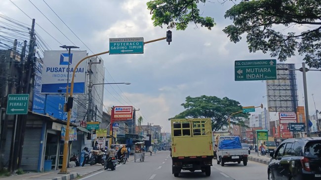
Furthermore, Luki highlighted the importance of exploring local wisdom that has developed within the community, such as toponymy or the naming of regions in Bandung, to strengthen the understanding of geological conditions. He specifically cited areas with the prefix ‘ranca’, such as Rancaekek. The term means swamp, referring to the fact that the area was once part of an ancient lake with soft, porridge-like soil conditions.
“These conditions make the area prone to movement during tremors. Historical place names can serve as a reminder to the community regarding environmental characteristics that require attention,” explained Subehi.
Such local wisdom is considered a crucial reminder amidst the long intervals between major earthquakes, which can span two to three generations. Without continuous education, the community’s knowledge and collective memory regarding disaster preparedness could potentially fade and disappear.
Moreover, Indonesia’s geographical position within the volcanic belt and surrounded by active fault lines demands that disaster knowledge be communicated massively down to the lowest levels. On this basis, the public is encouraged to understand that living in disaster-prone areas is not a reason for pessimism, but rather a strong foundation for building preparedness.
“We must convey to the community that we live in a disaster-prone region. However, this does not mean we should be pessimistic or fearful; rather, we must learn to live alongside these potential disasters,” he added.
BRIN emphasised that the dissemination of research results must be carried out sustainably so that the public can stay updated with the latest scientific developments. This educational step is expected to reach all layers of society, from the younger generation to the elderly, to ensure an understanding of various disaster types and the necessary preparatory steps.