
Government Promotes Spatial Planning for Miangas-Marampit Border Regions
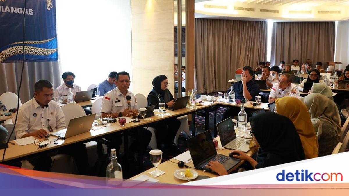
The National Border Management Agency of the Republic of Indonesia (BNPP RI), in conjunction with the Ministry of Agraria and Spatial Planning/National Land Agency (ATR/BPN), discussed the preparation of the Detailed Spatial Plan for National Border Areas (RDTR KPN) for the Miangas and Marampit Planning Regions in the Talaud Islands Regency, North Sulawesi, on Wednesday (23/9).
This coordination forum addressed the synchronisation of spatial planning with the characteristics of outermost small islands, community needs, economic development, defence and security, and infrastructure development within the border regions.
Ismawan Harijlo, Assistant Deputy for Border Area Spatial Planning at BNPP RI, representing the Deputy for Border Area Potential Management, stated that border area management for the 2025-2029 period is directed towards four key focuses: priority border sub-districts, Border Area Growth Centres (PPKP), cross-border management, and the securing of border lines.
“The strategy for spatial planning in border areas has two main approaches: achieving national territorial integrity from a defence and security perspective, and fostering economic growth in the border regions,” Ismawan stated in a written release on Thursday (24/9/2026).
He noted that border area planning is not solely oriented towards defence and the affirmation of national borders. The presence of local communities, socio-economic activities, and regional potential must also be accommodated to ensure development aligns with the conditions and needs of the area.
Miangas holds a strategic position as it directly faces the Philippines. Under the spatial planning policy, the area is designated as a Gateway Service Centre (P3G), while Karatung serves as a buffer service centre.
Ismawan explained that the geographical proximity of Miangas to Mindanao has shaped cross-border social and economic relations. Local communities engage in trade with the Philippines, including the exchange of rice and daily necessities, some of which still utilises a barter system.
Conversely, accessibility and logistics remain significant challenges in the preparation of the RDTR. While Miangas possesses a port and an airport, the operational status of the airport requires attention, as community mobility and the distribution of essential goods remain heavily dependent on maritime transport.
“Infrastructure planning must look beyond the mere administrative existence of facilities, focusing instead on the function and quality of services actually experienced by the community on the ground,” said Ismawan.
He added that Miangas is one of eight locations proposed for the construction of a new Integrated Border Post (PLBN). While a Feasibility Study (FS) is available, documents such as the Environmental Impact Assessment (AMDAL), Strategic Environmental Assessment (KLHS), and various requirements regarding land readiness and status still need to be completed.
Gutmen Nainggolan, Assistant Deputy for National Border Management of Sea and Air Territories at BNPP RI, stated that the preparation of the RDTR for Miangas and Marampit must consider their character as Outermost Small Islands (PPKT). He noted that these geographical conditions shape the patterns of social and economic interaction with the Philippines.
“Miangas holds a strategic position because its distance to General Santos City in the Philippines is relatively closer compared to the access towards Bitung. This geographical condition has shaped cross-border social and economic relations,” Gutmen remarked.
Gutmen explained that Miangas and Marore possess a Border Crossing Station (BCS) based on a 1967 agreement. Miangas already features two piers, Customs, Immigration, and Quarantine (CIQ) facilities, a Liaison Officer post from the Philippines, and various government and security facilities.
“Basic infrastructure needs in Miangas and Marampit still require attention, particularly regarding transport, telecommunications, clean water, and electricity,” Gutmen clarified.
He added that the planning of these two outermost small islands must also account for the spatial carrying capacity and the socio-economic potential of the population, which largely relies on the agromaritime sector.
Nuki Harniati, Director of Spatial Planning at the Ministry of ATR/BPN, emphasised that the preparation of the RDTR KPN must be placed within the framework of national development, referencing Asta Cita, the RPJPN, and the RPJMN.
Spatial planning must integrate defence and security interests with equitable development, infrastructure expansion, and the protection of the environment and culture.
“Border area management needs to balance three aspects: security, prosperity, and environment,” said Nuki.
She noted that as small islands, Miangas and Marampit face physical limitations and vulnerability to disasters and climate change; therefore, spatial carrying capacity, mitigation, and adaptation must be taken into account.
Nuki added that the RDTR for Miangas is expected to serve as the spatial foundation for the PLBN development plan, including site determination and the land provision process.
BNPP RI, alongside the Ministry of ATR/BPN, local governments, and relevant ministries/agencies, must now ensure the synchronisation of sectoral aspects in the preparation of the RDTR KPN for Miangas and Marampit.
Integrated spatial planning is expected to provide certainty for development while delivering services, connectivity, and economic opportunities that meet the needs of the border community.
Source: jawawa.id (https://jawawa.id/newsitem/government-promotes-spatial-planning-for-miangas-marampit-border-regions-1790226163)
Originally published by detikcom (https://news.detik.com/berita/d-8676768/pemerintah-dorong-penataan-kawasan-perbatasan-miangas-marampit), translated from Indonesian