
Government, KI and SRI Support Community-Led Restoration in Batang Toru
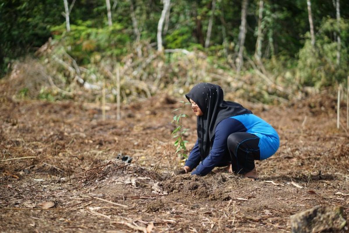
The South Tapanuli (Tapsel) district government is collaborating with several institutions to support community conservation efforts in the Batang Toru ecosystem landscape in North Sumatra, home to the Tapanuli orangutan (Pongo tapanuliensis), across an area of 159 hectares. Sundaland Program Director of Konservasi Indonesia (KI), Jeri Imansyah, explained that a community conservation agreement, developed by KI together with the Sumatra Rainforest Institute (SRI) and involving local villagers, focuses on restoring vegetation function and ecological stability in the Aek Haminjon village area, which serves as a buffer zone for the Dolok Sipirok Nature Reserve. “The majority of Aek Haminjon’s residents depend on agriculture, plantations, and forest products for their livelihoods. This area holds a very strategic position for conservation because it directly borders the Dolok Sipirok Nature Reserve in the Eastern Block of the Batang Toru Ecosystem. This area is home to the Tapanuli orangutan, which is now listed as critically endangered by the IUCN, with an estimated remaining global population of only around 800 individuals,” he said. Environmental restoration and community empowerment efforts in the 159-hectare disaster-affected area of the village commenced on 18 June. Satellite imagery analysis has identified deforestation covering approximately 11 hectares in the area bordering the village, caused by human activity and unsustainable land use. This decline in vegetation cover poses serious threats, including environmental quality degradation, increased erosion rates, and the reduction of productive habitat for protected wildlife. South Tapanuli Regent Gus Irawan Pasaribu, who attended the restoration activity, stated that community-based ecosystem restoration collaboration is an applicable policy formulation that has a direct impact on the community. He noted that the restoration efforts in Aek Haminjon village will serve as a pilot model for managing buffer zones around nature reserves. The restoration is being carried out in stages. The first zone is an area with a high level of disturbance, characterised by open land cover such as old rubber plantations and maize fields with few large trees. The second zone is an area with a low level of disturbance, consisting of relatively dense secondary forest that still requires vegetation intervention. This zoning forms the basis for determining the intensity of land enrichment, with seedling requirements ranging between 200 and 400 stems per hectare.