Government Accelerates Mapping of Protected Paddy Fields in 17 Provinces
The government plans to accelerate the control of paddy field land conversion through the designation of Protected Paddy Land (LSD) in various regions. The Ministry of Agrarian Affairs and Spatial Planning/National Land Agency (ATR/BPN) targets the completion of LSD area mapping in 17 additional provinces by the second quarter of 2026.
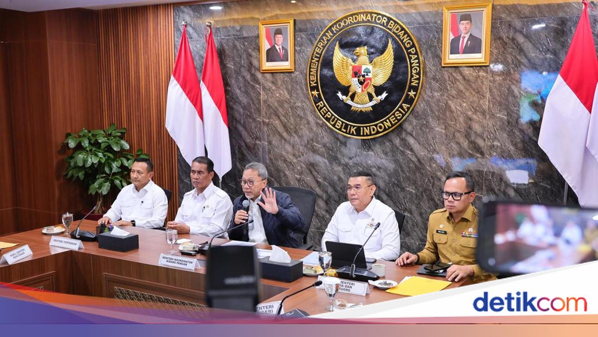
This was conveyed by Deputy Minister of ATR/Deputy Head of BPN, Ossy Dermawan, during a Limited Coordination Meeting (Rakortas) at the Coordinating Ministry for Food Affairs of the Republic of Indonesia.
“It is hoped that by the second quarter, we can complete it so as to obtain the LSD area map from these 17 new provinces, expected by 15 June 2026,” said Ossy in a written statement on Tuesday (31/3/2026).
Previously, the Ministry of ATR/BPN had prepared the designation of LSD in 12 provinces. Based on the overlay of various thematic maps, the total proposed LSD area reaches 2,739,650.36 hectares and is now entering the finalisation stage for designation through a ministerial decision.
The 12 provinces include Aceh, North Sumatra, Riau, Jambi, South Sumatra, Bengkulu, Lampung, Bangka Belitung, Riau, West Kalimantan, South Kalimantan, and South Sulawesi.
For the expansion to 17 provinces, the government will begin the stages with a more comprehensive approach. The process includes verification of Raw Paddy Land (LBS) data using satellite imagery, followed by collaboration with ministries/institutions and regional governments.
“Of course, we will do it as much as possible, starting from verifying LBS data with satellite imagery, then correcting it with relevant ministries and clarifying it with regional governments,” Ossy continued.
Those stages are targeted to be completed gradually by the end of May 2026, from verification to cross-sectoral synchronisation. Thus, the LSD map is expected to be final and ready for designation through the Decree of the Minister of ATR/Head of BPN in mid-June 2026.
In the process, the Ministry of ATR/BPN also conducts data cleansing by integrating various maps, such as land rights maps, forest areas, to Spatial Planning Plans (RTR). This step is taken to ensure data accuracy while preventing overlapping land utilisation.
“This data will later be needed to cleanse the initial data we have in order to obtain more accurate data,” said Ossy.
He also emphasised the importance of support from across ministries/institutions in accelerating the LSD designation, starting from the Geospatial Information Agency, Ministry of Forestry, Ministry of Agriculture, Ministry of Home Affairs, Ministry of Public Works, to the Coordinating Ministry for Economic Affairs.
“We very much request support from relevant ministries and institutions so that this verification and synchronisation process can run according to target,” he added.
In agreement, Coordinating Minister for Food Zulkifli Hasan affirmed that collaboration among ministries/institutions is key to achieving the LSD designation target on time, especially for the 17 provinces with a total area of around 7.44 million hectares.
“Ladies and gentlemen here are all present, I ask for your support so that this can run according to our set time. Hopefully, it can be completed by mid-June,” he explained.
As information, the event held on Monday (30/3) yesterday was also attended by Director General of Spatial Planning Suyus Windayana, Director of Land Rights Control, Land Function Conversion, Islands, and Specific Regions Andi Renald, Minister of Agriculture Amran Sulaiman, Deputy Minister of Home Affairs Bima Arya, as well as a number of officials from ministries/institutions under the Coordinating Ministry for Food Affairs of the Republic of Indonesia.