
Geological Agency Warns of Potential Cold Lava Threats from Mount Talang
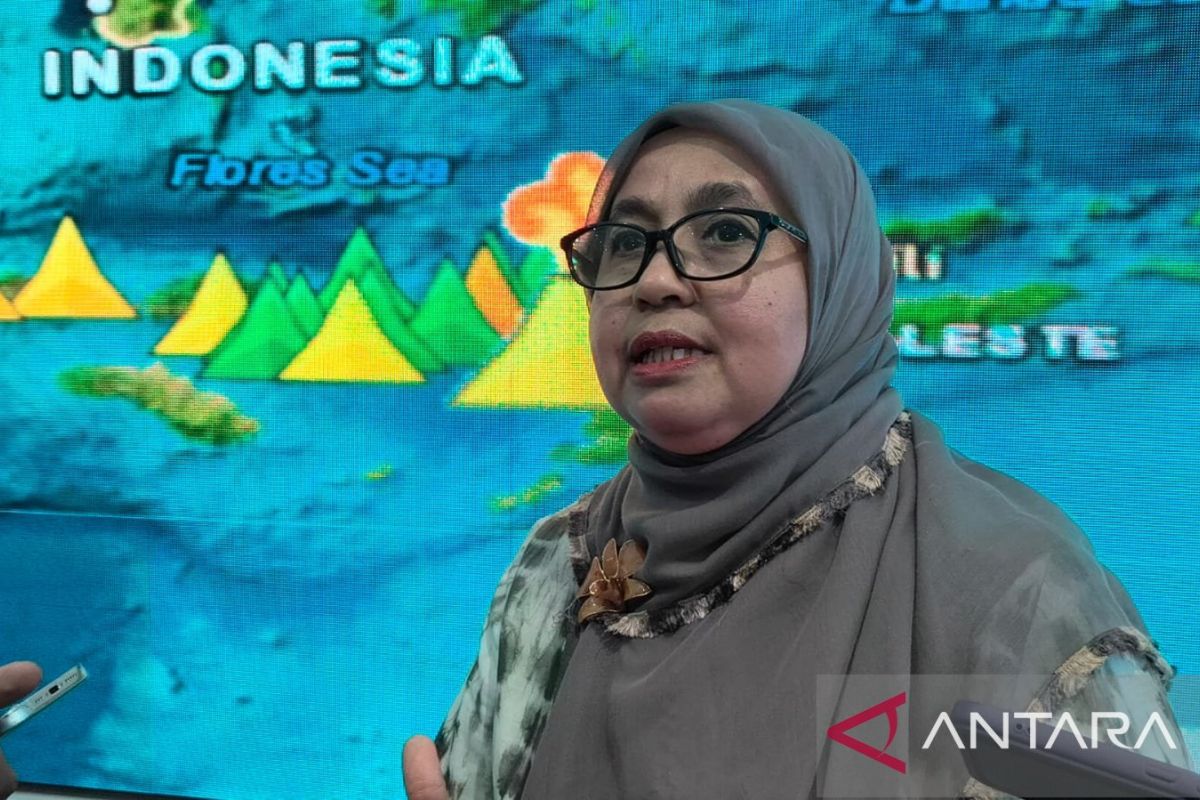
Jakarta (ANTARA) - The Geological Agency of the Ministry of Discretionary Energy and Mineral Resources (ESDM) has warned the public and local governments to remain vigilant against the secondary danger of rain-induced lahar in the Arosuka area, Solok Regency, West Sumatra.
The Head of the Geological Agency, Lana Saria, stated in Jakarta on Tuesday that the disaster-affected area is not only within the Medium Landslide Vulnerability Zone but also falls within the Hazard Zone I of Mount Talang.
However, the downstream region of Arosuka is geologically composed of young volcanic deposits, pumice, tuff, and lahar that have not yet fully consolidated. According to her, the high-porosity nature of these rocks makes them extremely fragile and prone to water saturation during high-intensity rainfall, which could trigger massive soil movements.
“The presence of loose volcanic material and thick weathered soil in the upstream area serves as the primary sediment provider that can, at any time, be eroded into lahar flows or flash floods,” said Lana.
She added that this threat is increasingly real because the morphological characteristics of the local river valleys are shaped like steep V-shaped cross-sections, which naturally concentrate surface runoff into a single downstream point.
The Geological Agency noted that the volume of material remaining on the upper slopes still has the potential to move if triggered by rainfall exceeding the soil’s infiltration capacity. Therefore, the dissemination of geological disaster preparedness to residents along the riverbanks must be continuously increased as an early anticipatory step against subsequent threats.
Geological Agency investigators previously reported that the flash flood event in the Arosuka area, Solok Regency, West Sumatra, on 21 September, was triggered by a combination of heavy rain and the blockage of landslide material on the western slopes of Mount Talang.
The event, which caused fatalities and significant infrastructure damage, began with land movements upstream due to high rainfall that had occurred since two days prior. Landslide material consisting of soil, volcanic rock, and andesite boulders measuring 2 to 3 metres entered the river channel and accumulated at the junction of two main valleys.
It is strongly suspected that the accumulation of this material formed a natural dam, which temporarily blocked the water flow upstream, leading to the accumulation of large volumes of water. This condition was reportedly exacerbated by the extreme height difference between the upstream and downstream areas, reaching 1,325 metres, providing immense gravitational energy for the movement of the material flow.
Geological studies also noted that pyroclastic material and weathered soil on the slopes of Mount Talang, which have not been well-consolidated, are very easily eroded and dissolved when experiencing increased moisture levels. The river system in the Arosuka area, which features a convergence pattern of several tributaries, eventually overflowed downstream approximately 8 kilometres from the centre of the upstream landslide.
Source: jawawa.id (https://jawawa.id/newsitem/geological-agency-warns-of-potential-cold-lava-threats-from-mount-talang-1791270201)
Originally published by Antara (Indonesian) (https://www.antaranews.com/berita/5773094/badan-geologi-ingatkan-potensi-ancaman-lahar-dingin-gunung-talang), translated from Indonesian