
Geological Agency: Smoke on Mount Raung not an eruption but a land fire
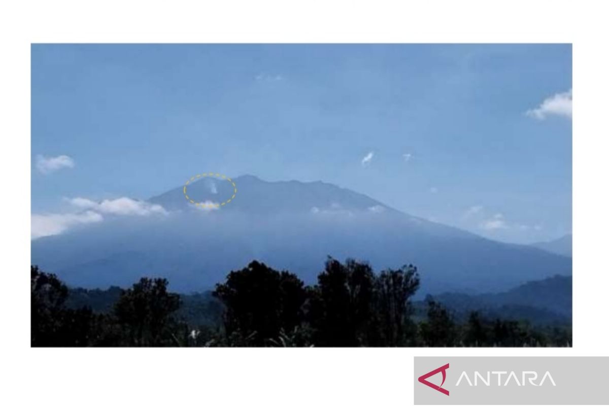
The Geological Agency of the Ministry of Energy and Mineral Resources (ESDM) has confirmed that the smoke plume phenomenon observed on the upper southern slope of Mount Raung, East Java, was triggered by a land fire, not by volcanic activity or an eruption.
Acting Head of the Geological Agency Lana Saria in Jakarta on Thursday said the smoke plume was first observed on Wednesday (19/8) at 06.30 WIB and appeared to move and widen at 13.06 WIB.
“From the distribution characteristics, location, and colour of the observed smoke, it is suspected that the smoke plume phenomenon was caused by a land fire,” she said.
Lana explained that visual observations of Mount Raung over the past two weeks only showed fluctuating pressure gas/water vapour emissions with a maximum height of 500 metres above the summit, without any observed eruption activity producing rock material.
In addition, seismic recordings were dominated by surface gust earthquakes due to gas pressure release, and no increase in the number or type of seismicity indicating magma migration to the surface was detected.
The Geological Agency has maintained the activity level of Mount Raung, located in the regencies of Banyuwangi, Jember, and Bondowoso, at Level II (Alert) since 19 December 2023.
For this reason, Lana said, the public and tourists are advised not to carry out activities within a three-kilometre radius of the eruption centre at the summit crater to avoid the potential danger of high-concentration volcanic gas accumulation.