
Geological Agency: Rumbling from Mount Karangetang Heard as Far as Observation Post
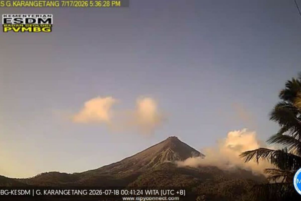
The Geological Agency of the Ministry of Energy and Mineral Resources (ESDM) has reported that rumbling sounds from Mount Karangetang in Sitaro Islands Regency, North Sulawesi, were occasionally heard as far as the Volcano Observation Post (PGA) during the evaluation period of 1-15 July 2026. Visual observations of the main (southern) crater did not detect any lava avalanches or effusive eruptions, with the maximum ash plume height reaching 700 metres above the peak.
Acting Head of the Geological Agency, Lana Saria, detailed that instrumental monitoring recorded one eruption earthquake, 13 avalanche earthquakes, 90 emission earthquakes, seven harmonic tremors, and 40 non-harmonic tremors. Additionally, 11 hybrid/multiphase earthquakes, four shallow volcanic earthquakes, 24 deep volcanic earthquakes, four local tectonic earthquakes, and four felt earthquakes at a scale of I-III MMI were detected, along with 173 distant tectonic earthquakes.
The report noted that the sliding distance of material remained within technical recommendations, with eruptions still occurring up to 13 July 2026. Seismicity during this period showed a decrease following a significant spike in deep volcanic earthquakes on 11 June 2026, when 70 events were recorded in a single day. Avalanche earthquakes have begun to be recorded, whilst emission earthquakes remain fluctuating but at a high intensity.
Residents are urged to be aware of incandescent lava flows on the northern, western, and southwestern flanks following eruptions at the northern crater. The agency also warned of potential hot clouds from avalanches, as old lava domes at the summit could collapse simultaneously with lava extrusion. The characteristic hot clouds of Mount Karangetang result from the accumulation of collapsing lava material, necessitating caution for lava flows from the northern crater towards the southwest and south, as well as the risk of lahars during heavy rainfall at the summit.
The public, visitors, tourists, and climbers are prohibited from entering or approaching areas within a 1.5-kilometre radius of the main (southern) crater and the second (northern) crater, and a 2.5-kilometre radius on the southwestern and southern sectors of the main crater. It is also recommended to prepare masks to cover the nose and mouth to anticipate respiratory hazards in the event of ashfall. Communities living along riverbanks originating from the summit of Mount Karangetang are asked to heighten their preparedness for potential rain-triggered lahars and flash floods.