
Forestry Ministry Launches Integrated Operation to Tackle Bromo Tengger Semeru Conservation Area Fire
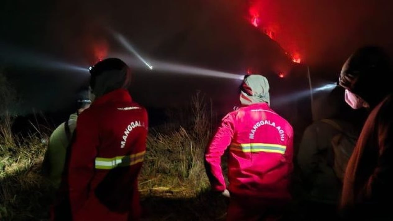
The Ministry of Forestry continues to deploy an integrated operation to tackle the forest fire still burning in the Bromo Tengger Semeru National Park (TNBTS) area, East Java.
As of Wednesday (5/8) at 18.00 WIB, the fire in the Watu Gede Block area had not yet been fully extinguished. Manggala Agni, together with a joint team, continues to work on the ground to limit the spread of the fire and protect the conservation area from wider damage.
Director General of Forestry Law Enforcement, Dwi Januanto Nugroho, stressed that fires in conservation areas threaten not only the forest but also the livelihoods of communities that depend on the ecological functions of the area.
“Bromo is not just a tourist destination, but a conservation area that sustains community life and serves as a habitat for various plant and animal species. The fire must be brought under control immediately, its cause uncovered, and the area restored. The public must also play a part in prevention by being mindful of activities around the area and promptly reporting any signs of fire,” he asserted, as quoted on Thursday, 6 August 2026.
To ensure visitor safety and support the smooth running of the firefighting operation, the TNBTS Central Office has temporarily closed tourist access through the Jemplang and Coban Trisula gates in Malang Regency and the Senduro gate in Lumajang Regency since 3 August 2026 at 22.00 WIB until an unspecified time. Meanwhile, access through Cemoro Lawang (Probolinggo Regency) and Wonokitri (Pasuruan Regency) remains open on a limited basis only up to the Sea of Sand area, while the Savana area is closed to all visitors.
The fire has affected savanna vegetation, mountain cedar, ferns, and shrubs. The firefighting operation faces challenges including steep slopes, rugged hills, highly flammable vegetation, and limited water sources. To support the operation, water is being supplied in stages using tanker trucks to points that personnel can still reach.
Initial indications of the fire were detected through the Ministry of Forestry’s Forest and Land Fire Monitoring System (SiPongi+), which receives and processes hotspot data from various satellites, including NASA-MODIS. On Tuesday (4/8), SiPongi+ detected a hotspot with medium confidence. The information was immediately verified through direct ground checks, allowing firefighting operations to be mobilised quickly to localise the spread of the fire.