
Forest Fires Spread, BMKG Reveals Why Cloud Seeding Cannot Yet Be Conducted
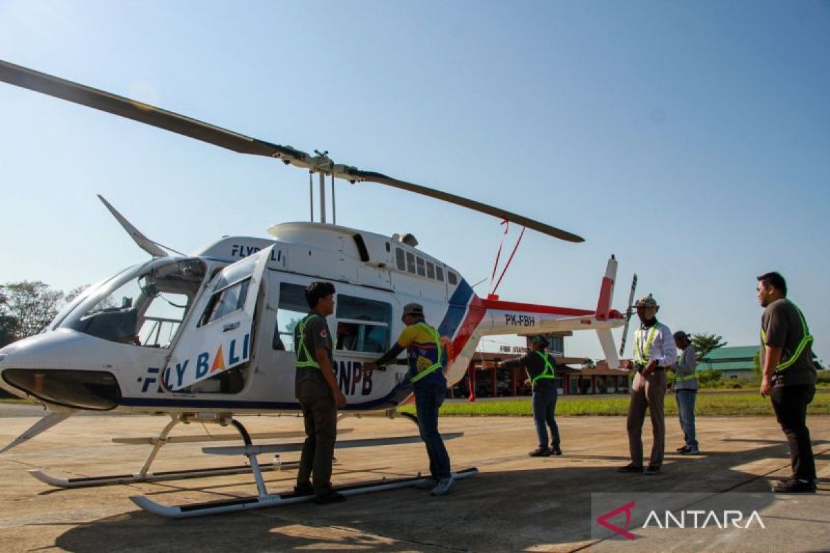
The Meteorology, Climatology and Geophysics Agency (BMKG) has revealed that Weather Modification Operations (OMC) to help extinguish forest and land fires (karhutla) that are increasingly spreading in a number of regions cannot yet be implemented because convective clouds, the primary requirement for salt seeding, have not formed. OMC is an intervention to increase the potential for rain by seeding salt or Sodium Chloride (NaCl) into cloud clusters using special aircraft based on scientific data, involving a team of experts from the BMKG, the National Disaster Mitigation Agency (BNPB), and the Indonesian Air Force. BMKG Deputy for Weather Modification Tri Handoko Seto, when confirmed in Jakarta on Monday, stressed that due to these conditions, the implementation of OMC is estimated to be unlikely for at least the next 10 days, depending on cloud growth in each region. ‘Conditions in each region vary, but we continue to monitor until there is potential (clouds) for OMC,’ he said. The statement was made in response to the escalation of forest and land fire incidents reported by the National Disaster Mitigation Agency (BNPB) during the period of 7 to 10 August 2026, which hit various points on the islands of Sumatra, Java, Bangka Belitung, Sulawesi, North Maluku, and Southwest Papua. BNPB Head of Disaster Data, Information and Communication Centre Abdul Muhari reported that in East Java, forest and land fires had a significant impact on the Bromo Tengger Semeru National Park (TNBTS) area, with a total burned area reaching 520 hectares as of Sunday night (9/8), forcing the national park authority to completely close all tourist entrances from Saturday (8/8) until an unspecified time. Still in East Java, forest and land fires scorched 6.5 hectares of Perhutani land on Mount Watangan, Jember Regency, while in West Java fires consumed two hectares of land in Subang. In Central Java, forest and land fires also burned two hectares of land in Jepara and three hectares in Banyumas due to waste burning. Meanwhile, on the island of Sulawesi, forest and land fires spread to burn 72.4 hectares of land on Bakalan Island, Banggai Islands, and three hectares on Mount Batu Pongki, Tojo Una-Una, Central Sulawesi. In South Sulawesi, a joint team is still extinguishing flames that have consumed 15 hectares of land in Tana Toraja. Outside Java and Sulawesi, forest and land fires also scorched 23 hectares of land in three sub-districts in East Halmahera (North Maluku), two hectares in Sorong (Southwest Papua), 2.29 hectares in East Belitung (Bangka Belitung), and one hectare of land in Aceh Besar (Aceh). Despite this, Abdul confirmed that joint officer teams in all affected areas are being maximised to handle and mitigate the spread of fire, by also deploying ground watering equipment, water tanker trucks, creating firebreaks, and aerial water bombing using helicopters.