
Forest Fires Continue to Ravage Three Mountains in East Java, 1,500 Hectares Destroyed
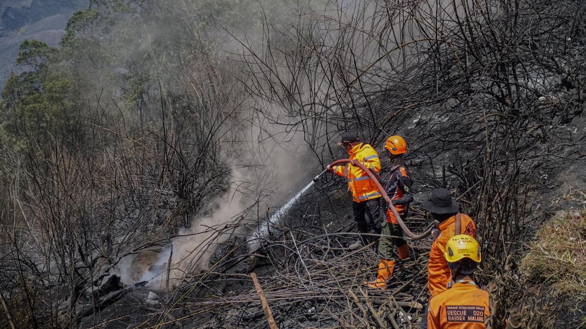
Forest and land fires (karhutla) in the East Java region continue to persist as of Saturday (19/09). The two primary affected areas include the Mount Kawinajang region, which borders Mount Buthak, and the Mount Wilis area.
The Head of Emergency and Logistics at the East Java Regional Disaster Management Agency (BPBD), Satrilantyo Nurseno, noted that the damage in the Mount Kawinajang and Mount Buthak regions has left thousands of hectares of land burnt, with the figure potentially increasing.
“The burnt area is approximately 1,459 hectares, and the data is still developing,” said Satriyo.
A joint firefighting team, consisting of the East Java Provincial BPBD, district-level BPBDs, Perhutani, volunteers, and local community associations, is continuously working to extinguish the fires through both land and air routes.
For aerial operations, Satriyo stated that they have deployed the PK-DAP helicopter, which has a water bucket capacity of 1,000 litres. This helicopter has conducted several water bombing sorties over the Mount Buthak area, dropping a total of 3,000 litres of water during the first and second sorties.
Satriyo mentioned that efforts to extinguish the fire using aerial assets are being maximised, despite being hindered by foggy weather conditions at the site.
“The PK-DAP helicopter has currently conducted observations, with smoke plumes still visible in the Mount Kawinajang area, and is continuing water bombing operations,” said Satriyo.
Meanwhile, for ground operations, personnel are facing challenges due to extremely extreme terrain. Many fire points burning vegetation are beyond the reach of officers, so anticipatory measures are focused on limiting the spread of the fire.
“Ground handling personnel are currently creating firebreaks in the Mount Malang area and extinguishing fires that are still accessible,” said Satriyo.
He added that natural factors remain the primary obstacle in this operation, affecting both aerial assets and ground firefighting teams. “Visibility for the helicopter towards the smoke plumes is being obstructed by fog,” he said.
Additionally, forest fires have also struck the Mount Wilis area, which falls within the administrative region of Nganjuk Regency. The BPBD continues to monitor and periodically record the affected areas.
“In Mount Wilis, the affected area has reached 50 hectares, and the data may expand,” said Satriyo.
Satriyo stated that the joint team is now on standby, monitoring the movement of the fire from a distance, given the steep cliffs at the incident site. Local communities and ground teams are currently attempting to sever the fire’s path amidst foggy weather conditions.
“Ground handling personnel, along with community associations and traders, are currently creating firebreaks to prevent the fire from spreading,” he said.
He noted that, similar to the geographical obstacles faced by officers in the Kawinajang area, the position of the fire in Mount Wilis also makes manual firefighting access extremely difficult.
“The fire points are located at the peak of Mount Wilis, featuring steep and rugged terrain,” concluded Satri_yo.