
Forest and Land Fires in West Aceh Spread to 31.1 Hectares Across Five Districts
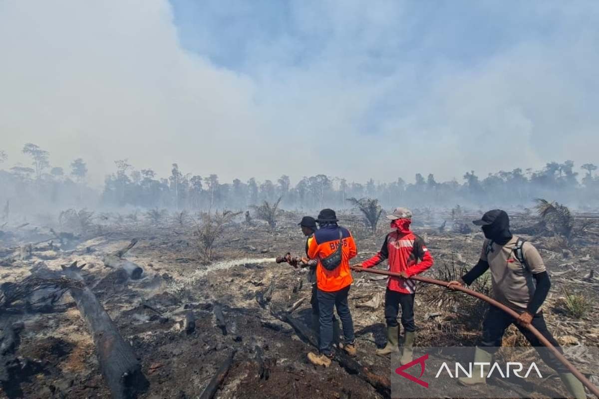
The total area of land burnt has now reached approximately 31.1 hectares, spread across five districts.
Meulaboh (ANTARA) - The West Aceh Regional Disaster Management Agency (BPBD) has recorded that the area of forest and land fires (karhutla) occurring in several districts has expanded to 31.1 hectares from the previous figure of 29.1 hectares.
“The total area of burnt land has now reached approximately 31.1 hectares, spread across five districts,” said the Acting Head of BPBD West Aceh, Teuku Ronal Nehdiansyah, to journalists in Meulaboh on Thursday.
He explained that the total land affected by the fires in Bubon District includes Berawang Village (15 hectares) and Kuta Padang Layung Village (10 hectares).
Johan Pahlawan District includes Lapang Village (one hectare) and Seunebok Village (0.5 hectares). Meanwhile, Meureubo District includes Ujong Tanoll Darat Village (Point I: 1.6 hectares and Point II: one hectare).
He stated that efforts to extinguish the forest and land fires in West Aceh Regency are ongoing, involving joint teams both on the ground and via aerial routes, in the hope that the flames can be fully extinguished.
Nevertheless, Teuku Ronal did not deny the obstacles faced by the joint teams in the field, including damaged vegetation causing thick smoke that disturbs the breathing of the team and reduces visibility.
To support the smooth running of the operation, the BPBD, along with the BNPB and related agencies, has deployed several pieces of equipment, including one BNPB water-bombing helicopter, two double-cabin vehicles, one Panther pickup truck, one trail motorbike, one unit of armada 014, three BPBD water pump engines, and one pump engine provided by community self-help.
Teuku Ronal mentioned that the operation involves joint personnel from BPBD West Aceh, the West Aceh Kodim, West Aceh Police, Woyla Fire Brigade, local Koramil and Polsek, KPH IV, UKM PK UTU, and local villagers.