
Forest and Land Fires in West Aceh Expand to 31.1 Hectares
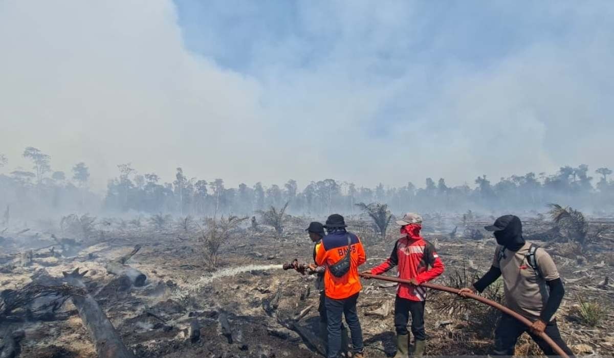
The Regional Disaster Management Agency (BPBD) of West Aceh Regency has reported an escalation in forest and land fires (karhutla) in the region. As of Thursday (11/6), the total burned area has reached 31.1 hectares, an increase from the previously reported 29.1 hectares.
Acting Head of BPBD West Aceh, Teuku Ronal Nehdiansyah, confirmed that the fires have now spread across five sub-districts. “The total burned area has now reached approximately 31.1 hectares, spread across five sub-districts,” Ronal told reporters in Meulaboh.
According to BPBD data, Bubon sub-district is the worst affected, with 25 hectares burned, divided between Berawang Village (15 hectares) and Kuta Padang Layung Village (10 hectares).
Joint teams are continuing firefighting efforts via land and air. However, field personnel face significant challenges. Damaged vegetation is generating thick smoke that disrupts breathing and reduces visibility for the firefighting teams.
In addition to vegetation factors, strong winds and difficult road access for four-wheeled vehicles are major obstacles. “The remote location of the fires and difficult access pose challenges for the joint team in conducting fire suppression efforts,” Ronal added.
To accelerate the operation, a water-bombing helicopter from the National Disaster Management Agency (BNPB) has been deployed, supported by various ground assets including double-cabin trucks, trail motorcycles, and water pump engines from BPBD and community volunteers.
The firefighting operation involves personnel from multiple agencies, including BPBD West Aceh, Military District Command 0105 Aceh Barat, West Aceh Police, the Woyla Fire Station, Forest Management Unit IV, student volunteer corps UKM PK, and local residents. The local government hopes this synergy will quickly extinguish all hotspots to prevent further environmental damage.